Distance to Carolan, Arkansas

Calculating Your Route
Just a moment while we process your request...
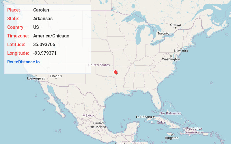
Location Information
-
Full AddressCarolan, AR 72927
-
Coordinates35.0937055, -93.9793708
-
LocationArkansas , US
-
TimezoneAmerica/Chicago
-
Current Local Time6:13:33 PM America/ChicagoSunday, June 22, 2025
-
Page Views0
About Carolan
Carolan is an unincorporated community in Logan County, Arkansas, United States. It lies five miles to the southwest of Booneville on State Highway 23. Carolan is named for William Philip Carolan, early farmer and merchant in the area. He was born on April 16, 1800, in South Carolina.
Nearby Places
Found 10 places within 50 miles

Booneville
4.6 mi
7.4 km
Booneville, AR 72927
Get directions

Tate
4.7 mi
7.6 km
Tate, AR 72927
Get directions
Barber
4.8 mi
7.7 km
Barber, AR 72927
Get directions
Mixon
5.6 mi
9.0 km
Mixon, AR 72927
Get directions
Grayson
6.7 mi
10.8 km
Grayson, AR 72927
Get directions
Washburn
8.3 mi
13.4 km
Washburn, AR 72927
Get directions
Boothe
8.5 mi
13.7 km
Boothe, AR 72927
Get directions
Lewis
8.7 mi
14.0 km
Lewis, AR 72927
Get directions
Sugar Grove
10.1 mi
16.3 km
Sugar Grove, AR 72927
Get directions

Magazine
10.5 mi
16.9 km
Magazine, AR 72943
Get directions
Location Links
Local Weather
Weather Information
Coming soon!
Location Map
Static map view of Carolan, Arkansas
Browse Places by Distance
Places within specific distances from Carolan
Short Distances
Long Distances
Click any distance to see all places within that range from Carolan. Distances shown in miles (1 mile ≈ 1.61 kilometers).