Distance to Lewis, Arkansas

Calculating Your Route
Just a moment while we process your request...
Location Information
-
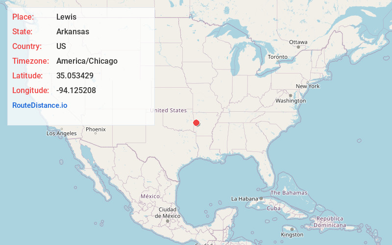
Full AddressLewis, AR 72927
-
Coordinates35.0534293, -94.1252079
-
LocationLewis , Arkansas , US
-
TimezoneAmerica/Chicago
-
Current Local Time1:54:44 PM America/ChicagoMonday, June 2, 2025
-
Page Views0
Nearby Places
Found 10 places within 50 miles

Boothe
0.8 mi
1.3 km
Boothe, AR 72927
Get directions
Abbott
4.1 mi
6.6 km
Abbott, AR 72944
Get directions

Mansfield
7.1 mi
11.4 km
Mansfield, AR 72944
Get directions
Dayton
7.1 mi
11.4 km
Dayton, AR 72940
Get directions
Milltown
7.3 mi
11.7 km
Milltown, AR 72936
Get directions
Tate
7.5 mi
12.1 km
Tate, AR 72927
Get directions
Huntington
8.1 mi
13.0 km
Huntington, AR 72940
Get directions
Washburn
8.1 mi
13.0 km
Washburn, AR 72927
Get directions
Fox Hill
9.8 mi
15.8 km
Fox Hill, AR 72940
Get directions

Waldron
11.0 mi
17.7 km
Waldron, AR 72958
Get directions
Location Links
Local Weather
Weather Information
Coming soon!
Location Map
Static map view of Lewis, Arkansas
Browse Places by Distance
Places within specific distances from Lewis
Short Distances
Long Distances
Click any distance to see all places within that range from Lewis. Distances shown in miles (1 mile ≈ 1.61 kilometers).