Distance to Carp, Indiana

Calculating Your Route
Just a moment while we process your request...
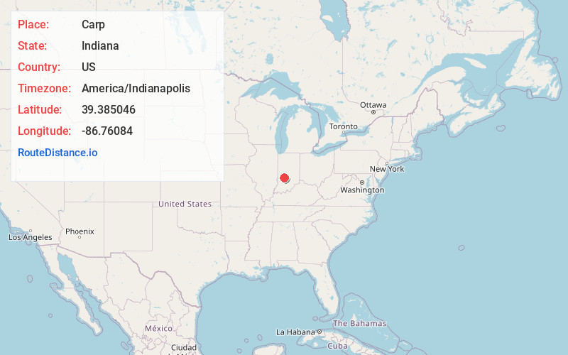
Location Information
-
Full AddressCarp, IN 47460
-
Coordinates39.3850457, -86.7608397
-
LocationCarp , Indiana , US
-
TimezoneAmerica/Indianapolis
-
Page Views0
About Carp
Carp is an unincorporated community in the northeastern part of Montgomery Township, Owen County, in the U.S. state of Indiana. It lies near the intersection of US Highway 231 and County Road 50 East, which is a community nearly eight miles north of the city of Spencer, the county seat of Owen County.
Nearby Places
Found 10 places within 50 miles

Cataract
4.2 mi
6.8 km
Cataract, IN 47460
Get directions

Gosport
5.6 mi
9.0 km
Gosport, IN 47433
Get directions

Spencer
6.8 mi
10.9 km
Spencer, IN 47460
Get directions

Stinesville
8.3 mi
13.4 km
Stinesville, IN
Get directions
Jordan
8.4 mi
13.5 km
Jordan, IN 47868
Get directions

Cloverdale
9.1 mi
14.6 km
Cloverdale, IN 46120
Get directions

Paragon
10.6 mi
17.1 km
Paragon, IN
Get directions

Poland
10.9 mi
17.5 km
Poland, IN 47868
Get directions

Eminence
11.4 mi
18.3 km
Eminence, IN
Get directions
Patricksburg
11.6 mi
18.7 km
Patricksburg, IN
Get directions
Location Links
Local Weather
Weather Information
Coming soon!
Location Map
Static map view of Carp, Indiana
Browse Places by Distance
Places within specific distances from Carp
Short Distances
Long Distances
Click any distance to see all places within that range from Carp. Distances shown in miles (1 mile ≈ 1.61 kilometers).