Distance to Carp, Nevada

Calculating Your Route
Just a moment while we process your request...
Location Information
-
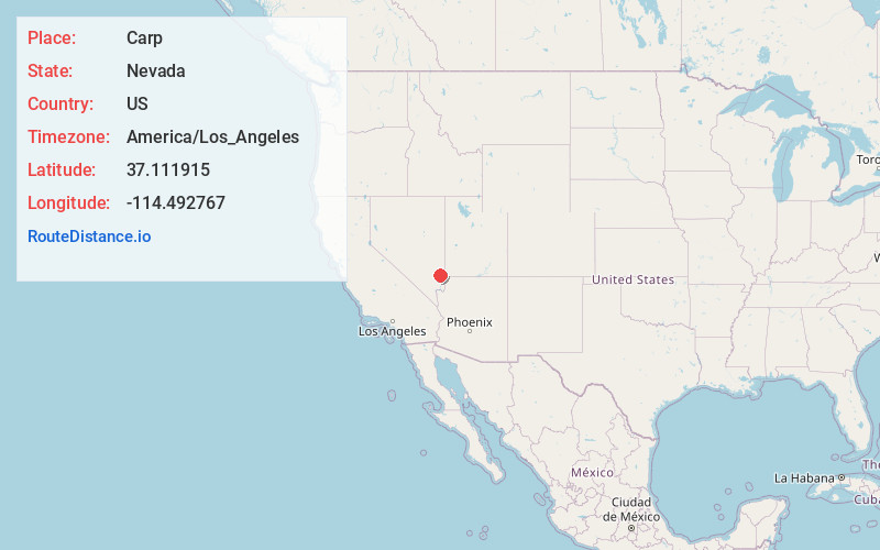
Full AddressCarp, NV 89008
-
Coordinates37.1119149, -114.4927666
-
LocationCarp , Nevada , US
-
TimezoneAmerica/Los_Angeles
-
Current Local Time6:51:28 PM America/Los_AngelesSaturday, June 21, 2025
-
Page Views0
About Carp
Carp, Nevada is an extinct town in Lincoln County, Nevada, United States located 35 miles south of Caliente. It sits on the Meadow Valley Wash, which empties into Lake Mead.
Carp was originally a small railroad station for the Union Pacific Railroad.
Nearby Places
Found 10 places within 50 miles

Galt
9.0 mi
14.5 km
Galt, NV 89008
Get directions
Hoya
14.4 mi
23.2 km
Hoya, NV 89008
Get directions

Elgin
16.8 mi
27.0 km
Elgin, NV 89008
Get directions
Boyd
22.9 mi
36.9 km
Boyd, NV 89008
Get directions
Stine
27.0 mi
43.5 km
Stine, NV 89008
Get directions

Moapa
29.5 mi
47.5 km
Moapa, NV 89025
Get directions
Helene
29.9 mi
48.1 km
Helene, NV
Get directions
Islen
30.4 mi
48.9 km
Islen, NV 89008
Get directions
Joseco
30.6 mi
49.2 km
Joseco, NV 89008
Get directions

Bunkerville
30.9 mi
49.7 km
Bunkerville, NV
Get directions
Location Links
Local Weather
Weather Information
Coming soon!
Location Map
Static map view of Carp, Nevada
Browse Places by Distance
Places within specific distances from Carp
Short Distances
Long Distances
Click any distance to see all places within that range from Carp. Distances shown in miles (1 mile ≈ 1.61 kilometers).