Distance to Carpenterville, Oregon

Calculating Your Route
Just a moment while we process your request...
Location Information
-
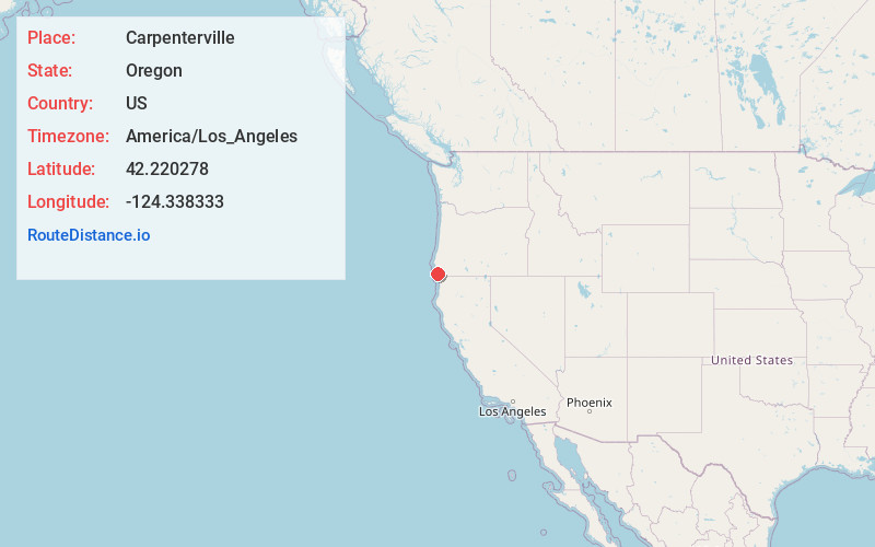
Full AddressCarpenterville, OR 97415
-
Coordinates42.220278, -124.338333
-
LocationCarpenterville , Oregon , US
-
TimezoneAmerica/Los_Angeles
-
Current Local Time3:41:25 PM America/Los_AngelesFriday, June 20, 2025
-
Page Views0
About Carpenterville
Carpenterville is an unincorporated community in Curry County, Oregon, United States. The community is located on the former alignment of U.S. Route 101 known as the Roosevelt Highway, approximately 16 miles north of Brookings.
Nearby Places
Found 10 places within 50 miles

Pistol River
4.9 mi
7.9 km
Pistol River, OR 97444
Get directions

Brookings
11.9 mi
19.2 km
Brookings, OR 97415
Get directions

Harbor
12.1 mi
19.5 km
Harbor, OR
Get directions

Gold Beach
13.6 mi
21.9 km
Gold Beach, OR 97444
Get directions

Wedderburn
15.0 mi
24.1 km
Wedderburn, OR 97444
Get directions

Nesika Beach
20.1 mi
32.3 km
Nesika Beach, OR 97444
Get directions
Heather Mountain
20.9 mi
33.6 km
Heather Mountain, Oregon
Get directions

Smith River
22.4 mi
36.0 km
Smith River, CA
Get directions

Yontocket
22.8 mi
36.7 km
Yontocket, CA 95531
Get directions
Ophir
23.8 mi
38.3 km
Ophir, OR 97465
Get directions
Location Links
Local Weather
Weather Information
Coming soon!
Location Map
Static map view of Carpenterville, Oregon
Browse Places by Distance
Places within specific distances from Carpenterville
Short Distances
Long Distances
Click any distance to see all places within that range from Carpenterville. Distances shown in miles (1 mile ≈ 1.61 kilometers).