Distance to Ophir, Oregon

Calculating Your Route
Just a moment while we process your request...
Location Information
-
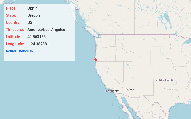
Full AddressOphir, OR 97465
-
Coordinates42.5631648, -124.3828807
-
LocationOphir , Oregon , US
-
TimezoneAmerica/Los_Angeles
-
Current Local Time3:43:44 PM America/Los_AngelesFriday, May 23, 2025
-
Page Views0
About Ophir
Ophir is an unincorporated community in Curry County, Oregon, United States. It has a post office with a ZIP code 97464. Ophir lies at the intersection of Oregon Route 515 and U.S. Route 101, northeast of Nesika Beach.
Nearby Places
Found 10 places within 50 miles

Nesika Beach
4.2 mi
6.8 km
Nesika Beach, OR 97444
Get directions

Wedderburn
9.4 mi
15.1 km
Wedderburn, OR 97444
Get directions

Gold Beach
10.9 mi
17.5 km
Gold Beach, OR 97444
Get directions

Port Orford
13.9 mi
22.4 km
Port Orford, OR 97465
Get directions

Pistol River
19.8 mi
31.9 km
Pistol River, OR 97444
Get directions

Langlois
25.1 mi
40.4 km
Langlois, OR 97450
Get directions

Powers
27.1 mi
43.6 km
Powers, OR 97466
Get directions

Brookings
35.6 mi
57.3 km
Brookings, OR 97415
Get directions

Harbor
35.7 mi
57.5 km
Harbor, OR
Get directions

Myrtle Point
36.8 mi
59.2 km
Myrtle Point, OR 97458
Get directions
Location Links
Local Weather
Weather Information
Coming soon!
Location Map
Static map view of Ophir, Oregon
Browse Places by Distance
Places within specific distances from Ophir
Short Distances
Long Distances
Click any distance to see all places within that range from Ophir. Distances shown in miles (1 mile ≈ 1.61 kilometers).