Distance to Langlois, Oregon

Calculating Your Route
Just a moment while we process your request...
Location Information
-
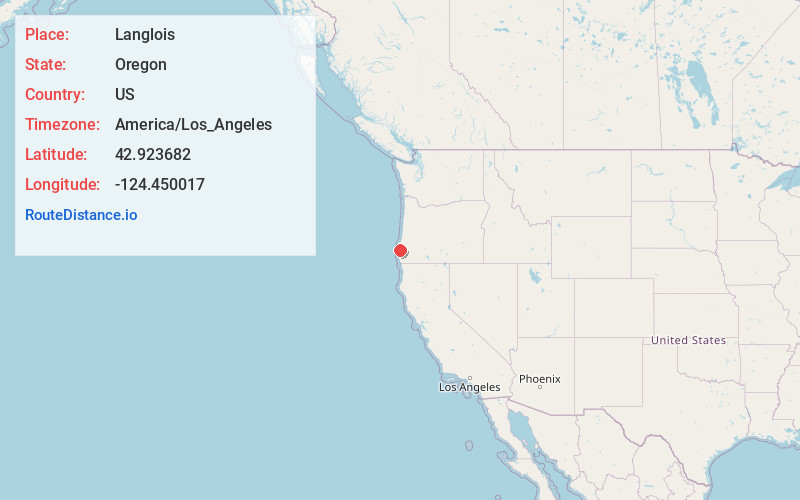
Full AddressLanglois, OR 97450
-
Coordinates42.9236823, -124.4500174
-
LocationLanglois , Oregon , US
-
TimezoneAmerica/Los_Angeles
-
Current Local Time1:29:35 AM America/Los_AngelesSunday, May 25, 2025
-
Page Views0
About Langlois
Langlois is an unincorporated community and census-designated place in Curry County, Oregon, United States, on the Oregon Coast established in 1881. It had a population of 177 in 2010. Langlois was once famous for its blue cheese, until the cheese factory burned down in the 1950s. It was never rebuilt.


Nearby Places
Found 10 places within 50 miles

Port Orford
12.5 mi
20.1 km
Port Orford, OR 97465
Get directions

Bandon
13.7 mi
22.0 km
Bandon, OR 97411
Get directions

Myrtle Point
18.5 mi
29.8 km
Myrtle Point, OR 97458
Get directions

Powers
19.3 mi
31.1 km
Powers, OR 97466
Get directions

Coquille
22.0 mi
35.4 km
Coquille, OR 97423
Get directions

Nesika Beach
28.9 mi
46.5 km
Nesika Beach, OR 97444
Get directions

Bunker Hill
32.3 mi
52.0 km
Bunker Hill, OR 97420
Get directions

Coos Bay
32.9 mi
52.9 km
Coos Bay, OR
Get directions

North Bend
35.2 mi
56.6 km
North Bend, OR 97459
Get directions

Gold Beach
35.7 mi
57.5 km
Gold Beach, OR 97444
Get directions
Location Links
Local Weather
Weather Information
Coming soon!
Location Map
Static map view of Langlois, Oregon
Browse Places by Distance
Places within specific distances from Langlois
Short Distances
Long Distances
Click any distance to see all places within that range from Langlois. Distances shown in miles (1 mile ≈ 1.61 kilometers).