Distance to Carr Creek, Kansas

Calculating Your Route
Just a moment while we process your request...
Location Information
-
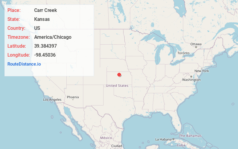
Full AddressCarr Creek, Kansas
-
Coordinates39.3843968, -98.4503602
-
LocationKansas , US
-
TimezoneAmerica/Chicago
-
Current Local Time9:41:53 AM America/ChicagoFriday, June 13, 2025
-
Page Views0
Nearby Places
Found 10 places within 50 miles

Tipton
3.1 mi
5.0 km
Tipton, KS 67485
Get directions
Corinth
5.5 mi
8.9 km
Corinth, KS 67437
Get directions

Cawker City
8.7 mi
14.0 km
Cawker City, KS 67430
Get directions

Downs
9.3 mi
15.0 km
Downs, KS 67437
Get directions
Forney
9.3 mi
15.0 km
Forney, Penn Township, KS 67473
Get directions

Hunter
10.8 mi
17.4 km
Hunter, KS 67452
Get directions

Glen Elder
10.9 mi
17.5 km
Glen Elder, KS 67446
Get directions

Mitchell County
12.9 mi
20.8 km
Mitchell County, KS
Get directions
Victor
13.0 mi
20.9 km
Victor, Blue Hill Township, KS 67420
Get directions

Osborne
13.6 mi
21.9 km
Osborne, KS 67473
Get directions
Location Links
Local Weather
Weather Information
Coming soon!
Location Map
Static map view of Carr Creek, Kansas
Browse Places by Distance
Places within specific distances from Carr Creek
Short Distances
Long Distances
Click any distance to see all places within that range from Carr Creek. Distances shown in miles (1 mile ≈ 1.61 kilometers).