Distance to Carson, Oregon

Calculating Your Route
Just a moment while we process your request...
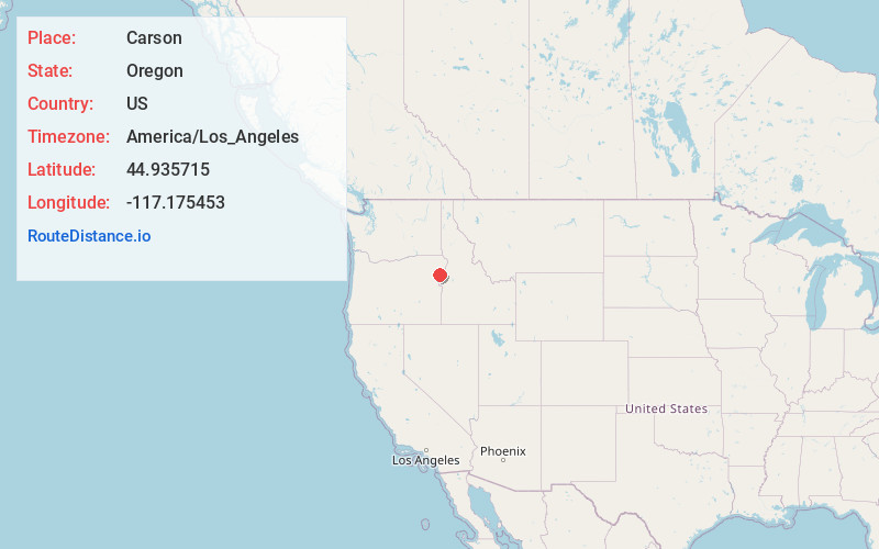
Location Information
-
Full AddressCarson, OR 97834
-
Coordinates44.9357147, -117.1754529
-
LocationCarson , Oregon , US
-
TimezoneAmerica/Los_Angeles
-
Current Local Time7:33:52 AM America/Los_AngelesSaturday, May 24, 2025
-
Page Views0
About Carson
Carson is an unincorporated community in Baker County, in the U.S. state of Oregon, along Oregon Route 413 about 5 miles northwest of Halfway.
In 1870 Tom Corson settled in the area on a tributary of Pine Creek. His neighbors pronounced his name "Carson" and named the tributary and a sawmill on the creek after him.

Nearby Places
Found 10 places within 50 miles

Halfway
4.8 mi
7.7 km
Halfway, OR 97834
Get directions

Richland
11.5 mi
18.5 km
Richland, OR 97870
Get directions

Wallowa Lake
26.0 mi
41.8 km
Wallowa Lake, OR 97846
Get directions

Pleasant Valley
28.7 mi
46.2 km
Pleasant Valley, OR 97814
Get directions

Joseph
29.0 mi
46.7 km
Joseph, OR 97846
Get directions

Landore
29.7 mi
47.8 km
Landore, ID 83612
Get directions

Baker City
34.1 mi
54.9 km
Baker City, OR 97814
Get directions

Enterprise
34.3 mi
55.2 km
Enterprise, OR 97828
Get directions

Cambridge
35.1 mi
56.5 km
Cambridge, ID 83610
Get directions

North Powder
36.9 mi
59.4 km
North Powder, OR 97867
Get directions
Location Links
Local Weather
Weather Information
Coming soon!
Location Map
Static map view of Carson, Oregon
Browse Places by Distance
Places within specific distances from Carson
Short Distances
Long Distances
Click any distance to see all places within that range from Carson. Distances shown in miles (1 mile ≈ 1.61 kilometers).