Distance to Carter, Montana

Calculating Your Route
Just a moment while we process your request...
Location Information
-
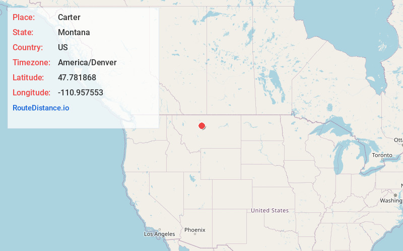
Full AddressCarter, MT 59420
-
Coordinates47.781868, -110.9575527
-
LocationCarter , Montana , US
-
TimezoneAmerica/Denver
-
Current Local Time2:52:54 PM America/DenverTuesday, May 27, 2025
-
Page Views0
About Carter
Carter is a census-designated place in Chouteau County, Montana, United States. The population was 58 at the 2010 census.
Carter's name was changed from Sidney in 1905 to honor Thomas H. Carter, the state's first congressional representative.

Nearby Places
Found 10 places within 50 miles

Fort Benton
14.4 mi
23.2 km
Fort Benton, MT 59442
Get directions

Highwood
15.6 mi
25.1 km
Highwood, MT 59450
Get directions

Malmstrom AFB
21.8 mi
35.1 km
Malmstrom AFB, MT
Get directions

Black Eagle
23.2 mi
37.3 km
Black Eagle, MT
Get directions

Great Falls
24.9 mi
40.1 km
Great Falls, MT
Get directions

Belt
27.3 mi
43.9 km
Belt, MT 59412
Get directions

Riverview Colony
27.5 mi
44.3 km
Riverview Colony, MT
Get directions

Sand Coulee
28.2 mi
45.4 km
Sand Coulee, MT 59472
Get directions

Sun Prairie
30.0 mi
48.3 km
Sun Prairie, MT 59404
Get directions

Vaughn
31.4 mi
50.5 km
Vaughn, MT
Get directions
Location Links
Local Weather
Weather Information
Coming soon!
Location Map
Static map view of Carter, Montana
Browse Places by Distance
Places within specific distances from Carter
Short Distances
Long Distances
Click any distance to see all places within that range from Carter. Distances shown in miles (1 mile ≈ 1.61 kilometers).