Distance to Carter, North Carolina

Calculating Your Route
Just a moment while we process your request...
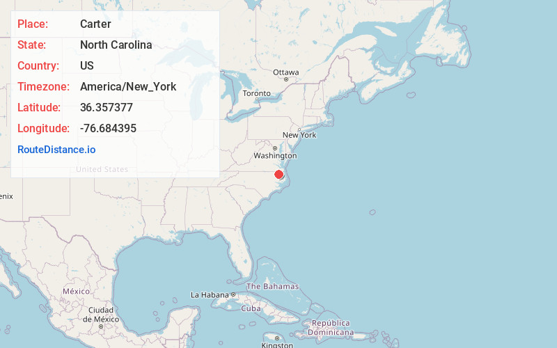
Location Information
-
Full AddressCarter, NC 27946
-
Coordinates36.3573772, -76.6843954
-
LocationCarter , North Carolina , US
-
TimezoneAmerica/New_York
-
Current Local Time3:36:34 PM America/New_YorkTuesday, June 17, 2025
-
Page Views0
Nearby Places
Found 10 places within 50 miles

Powell Crossroads
1.9 mi
3.1 km
Powell Crossroads, NC 27946
Get directions
Mintonsville
2.9 mi
4.7 km
Mintonsville, NC 27946
Get directions
Muddy Cross
3.2 mi
5.1 km
Muddy Cross, NC 27946
Get directions

Gatesville
5.0 mi
8.0 km
Gatesville, NC 27938
Get directions
Eleanors Crossroads
6.8 mi
10.9 km
Eleanors Crossroads, NC 27937
Get directions
Sunbury
7.1 mi
11.4 km
Sunbury, NC 27979
Get directions
Harrellsville
7.1 mi
11.4 km
Harrellsville, NC 27942
Get directions
Pettys Shore
8.0 mi
12.9 km
Pettys Shore, NC 27922
Get directions
Kellogs Fork
8.1 mi
13.0 km
Kellogs Fork, Sunbury, NC 27979
Get directions

Chowan Beach
10.0 mi
16.1 km
Chowan Beach, NC 27932
Get directions
Location Links
Local Weather
Weather Information
Coming soon!
Location Map
Static map view of Carter, North Carolina
Browse Places by Distance
Places within specific distances from Carter
Short Distances
Long Distances
Click any distance to see all places within that range from Carter. Distances shown in miles (1 mile ≈ 1.61 kilometers).