Distance to Carus, Oregon

Calculating Your Route
Just a moment while we process your request...
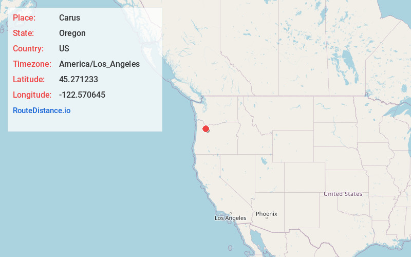
Location Information
-
Full AddressCarus, OR 97045
-
Coordinates45.2712333, -122.5706449
-
LocationCarus , Oregon , US
-
TimezoneAmerica/Los_Angeles
-
Current Local Time8:50:00 PM America/Los_AngelesWednesday, June 18, 2025
-
Page Views0
About Carus
Carus is an unincorporated community in Clackamas County, Oregon, United States. It is located about seven miles south of Oregon City, on Oregon Route 213.
Carus had a post office from 1887 to 1907. The name may have come from a misreading of the name "Carns" on the application to the Post Office Department.
Nearby Places
Found 10 places within 50 miles

Beavercreek
2.1 mi
3.4 km
Beavercreek, OR
Get directions

Mulino
3.5 mi
5.6 km
Mulino, OR
Get directions

Echo Dell
4.7 mi
7.6 km
Echo Dell, OR 97045
Get directions
Liberal
5.5 mi
8.9 km
Liberal, OR 97013
Get directions
Macksburg
5.9 mi
9.5 km
Macksburg, OR 97013
Get directions
Lone Elder
6.0 mi
9.7 km
Lone Elder, OR 97013
Get directions

Oregon City
6.1 mi
9.8 km
Oregon City, OR 97045
Get directions

Canby
6.1 mi
9.8 km
Canby, OR 97013
Get directions

West Linn
7.2 mi
11.6 km
West Linn, OR
Get directions

Barlow
7.5 mi
12.1 km
Barlow, OR
Get directions
Location Links
Local Weather
Weather Information
Coming soon!
Location Map
Static map view of Carus, Oregon
Browse Places by Distance
Places within specific distances from Carus
Short Distances
Long Distances
Click any distance to see all places within that range from Carus. Distances shown in miles (1 mile ≈ 1.61 kilometers).