Distance to Liberal, Oregon

Calculating Your Route
Just a moment while we process your request...
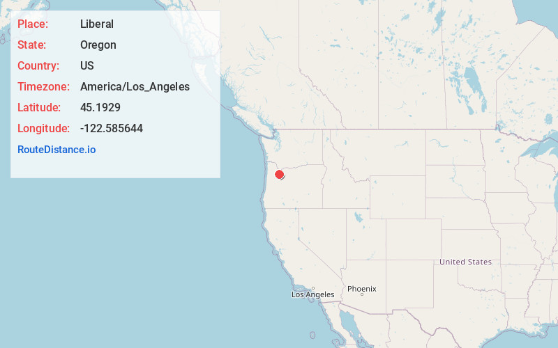
Location Information
-
Full AddressLiberal, OR 97013
-
Coordinates45.1929, -122.5856441
-
LocationLiberal , Oregon , US
-
TimezoneAmerica/Los_Angeles
-
Current Local Time6:12:56 AM America/Los_AngelesThursday, June 5, 2025
-
Page Views0
About Liberal
Liberal is an unincorporated community in Clackamas County, Oregon, United States. It lies on Oregon Route 213 between Mulino and Molalla.
The community of Liberal grew up three miles south of Mulino on the south side of the Molalla River.
Nearby Places
Found 10 places within 50 miles

Mulino
2.0 mi
3.2 km
Mulino, OR
Get directions

Molalla
3.2 mi
5.1 km
Molalla, OR 97038
Get directions

Rural Dell
4.4 mi
7.1 km
Rural Dell, OR 97038
Get directions

Beavercreek
7.0 mi
11.3 km
Beavercreek, OR
Get directions

Canby
7.2 mi
11.6 km
Canby, OR 97013
Get directions

Barlow
7.8 mi
12.6 km
Barlow, OR
Get directions

Aurora
8.7 mi
14.0 km
Aurora, OR 97002
Get directions

Hubbard
10.8 mi
17.4 km
Hubbard, OR 97032
Get directions

Scotts Mills
11.1 mi
17.9 km
Scotts Mills, OR
Get directions

Oregon City
11.3 mi
18.2 km
Oregon City, OR 97045
Get directions
Location Links
Local Weather
Weather Information
Coming soon!
Location Map
Static map view of Liberal, Oregon
Browse Places by Distance
Places within specific distances from Liberal
Short Distances
Long Distances
Click any distance to see all places within that range from Liberal. Distances shown in miles (1 mile ≈ 1.61 kilometers).