Distance to Scotts Mills, Oregon

Calculating Your Route
Just a moment while we process your request...
Location Information
-
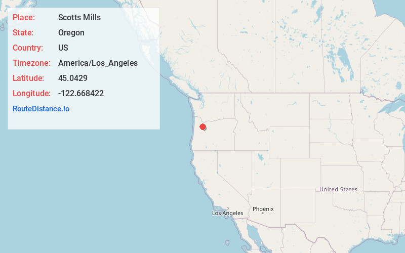
Full AddressScotts Mills, OR
-
Coordinates45.0428996, -122.6684215
-
LocationScotts Mills , Oregon , US
-
TimezoneAmerica/Los_Angeles
-
Current Local Time10:39:54 PM America/Los_AngelesSunday, June 1, 2025
-
Website
-
Page Views0
About Scotts Mills
Scotts Mills is a city in Marion County, Oregon, United States. The population was 419 at the 2020 census. It is 2 miles south of Marquam and Oregon Route 213, between Silverton and Molalla.
Scotts Mills is part of the Salem Metropolitan Statistical Area. It is near the site of the 1993 Scotts Mills earthquake.

Nearby Places
Found 10 places within 50 miles

Silverton
6.2 mi
10.0 km
Silverton, OR 97381
Get directions

Mt Angel
6.7 mi
10.8 km
Mt Angel, OR
Get directions

Bethany
7.6 mi
12.2 km
Bethany, OR 97381
Get directions

Molalla
8.5 mi
13.7 km
Molalla, OR 97038
Get directions

Woodburn
11.5 mi
18.5 km
Woodburn, OR
Get directions

Hubbard
11.8 mi
19.0 km
Hubbard, OR 97032
Get directions

Gervais
12.1 mi
19.5 km
Gervais, OR 97026
Get directions

Mulino
13.0 mi
20.9 km
Mulino, OR
Get directions

Aurora
13.7 mi
22.0 km
Aurora, OR 97002
Get directions
Labish Village
14.9 mi
24.0 km
Labish Village, OR 97305
Get directions
Location Links
Local Weather
Weather Information
Coming soon!
Location Map
Static map view of Scotts Mills, Oregon
Browse Places by Distance
Places within specific distances from Scotts Mills
Short Distances
Long Distances
Click any distance to see all places within that range from Scotts Mills. Distances shown in miles (1 mile ≈ 1.61 kilometers).