Distance to Carver, Arkansas

Calculating Your Route
Just a moment while we process your request...
Location Information
-
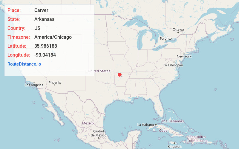
Full AddressCarver, AR 72640
-
Coordinates35.9861875, -93.0418402
-
LocationArkansas , US
-
TimezoneAmerica/Chicago
-
Current Local Time10:42:42 PM America/ChicagoTuesday, May 27, 2025
-
Page Views0
Nearby Places
Found 10 places within 50 miles

Mt Judea
4.6 mi
7.4 km
Mt Judea, AR
Get directions

Jasper
8.3 mi
13.4 km
Jasper, AR 72641
Get directions

Western Grove
9.3 mi
15.0 km
Western Grove, AR
Get directions

Pindall
10.6 mi
17.1 km
Pindall, AR
Get directions

Valley Springs
12.1 mi
19.5 km
Valley Springs, AR
Get directions
Wayton
13.2 mi
21.2 km
Wayton, AR 72628
Get directions

St Joe
13.6 mi
21.9 km
St Joe, AR 72675
Get directions
Everton
13.9 mi
22.4 km
Everton, AR 72633
Get directions

Deer
14.5 mi
23.3 km
Deer, AR
Get directions
Bellefonte
14.8 mi
23.8 km
Bellefonte, AR 72601
Get directions
Location Links
Local Weather
Weather Information
Coming soon!
Location Map
Static map view of Carver, Arkansas
Browse Places by Distance
Places within specific distances from Carver
Short Distances
Long Distances
Click any distance to see all places within that range from Carver. Distances shown in miles (1 mile ≈ 1.61 kilometers).