Distance to Mt Judea, Arkansas

Calculating Your Route
Just a moment while we process your request...
Location Information
-
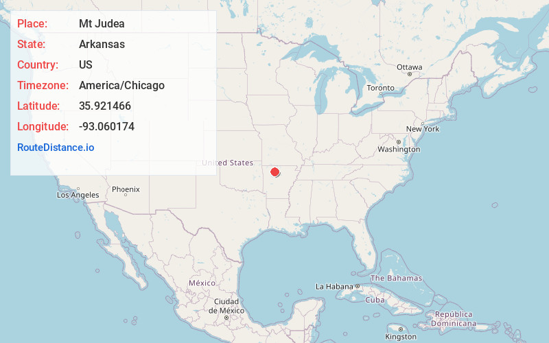
Full AddressMt Judea, AR
-
Coordinates35.9214662, -93.060174
-
LocationMt Judea , Arkansas , US
-
TimezoneAmerica/Chicago
-
Current Local Time5:43:45 PM America/ChicagoWednesday, June 18, 2025
-
Page Views0
About Mt Judea
Mount Judea is an unincorporated community and census-designated place in Newton County, Arkansas, United States. Mount Judea is located at the junction of Arkansas highways 74 and 123, 9.5 miles southeast of Jasper. Mount Judea has a post office with ZIP code 72655.


Nearby Places
Found 10 places within 50 miles

Jasper
9.3 mi
15.0 km
Jasper, AR 72641
Get directions

Deer
10.6 mi
17.1 km
Deer, AR
Get directions

Wayton
10.9 mi
17.5 km
Wayton, AR 72628
Get directions

Western Grove
13.8 mi
22.2 km
Western Grove, AR
Get directions
Pindall
14.2 mi
22.9 km
Pindall, AR
Get directions

St Joe
16.1 mi
25.9 km
St Joe, AR 72675
Get directions

Valley Springs
16.7 mi
26.9 km
Valley Springs, AR
Get directions
Everton
18.3 mi
29.5 km
Everton, AR 72633
Get directions

Ponca
18.4 mi
29.6 km
Ponca, AR
Get directions
Bellefonte
19.3 mi
31.1 km
Bellefonte, AR 72601
Get directions
Location Links
Local Weather
Weather Information
Coming soon!
Location Map
Static map view of Mt Judea, Arkansas
Browse Places by Distance
Places within specific distances from Mt Judea
Short Distances
Long Distances
Click any distance to see all places within that range from Mt Judea. Distances shown in miles (1 mile ≈ 1.61 kilometers).