Distance to Ponca, Arkansas

Calculating Your Route
Just a moment while we process your request...
Location Information
-
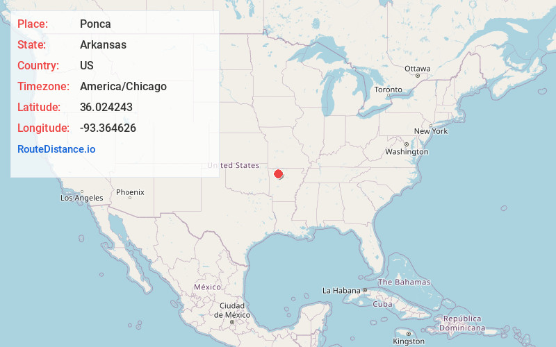
Full AddressPonca, AR
-
Coordinates36.0242433, -93.3646264
-
LocationPonca , Arkansas , US
-
TimezoneAmerica/Chicago
-
Current Local Time8:04:56 AM America/ChicagoThursday, June 12, 2025
-
Page Views0
About Ponca
Ponca is an unincorporated community and census-designated place in Newton County, Arkansas, United States. Ponca is located on Arkansas Highway 43, 10 miles west of Jasper. Ponca has a post office with ZIP code 72670.
Per the 2020 census, the population was 30.


Nearby Places
Found 10 places within 50 miles

Kingston
8.8 mi
14.2 km
Kingston, AR
Get directions

Jasper
10.0 mi
16.1 km
Jasper, AR 72641
Get directions

Wayton
10.4 mi
16.7 km
Wayton, AR 72628
Get directions
Batavia
17.8 mi
28.6 km
Batavia, AR 72601
Get directions

Alpena
19.0 mi
30.6 km
Alpena, AR 72611
Get directions

Harrison
20.2 mi
32.5 km
Harrison, AR 72601
Get directions

Huntsville
21.1 mi
34.0 km
Huntsville, AR 72740
Get directions
Bellefonte
21.5 mi
34.6 km
Bellefonte, AR 72601
Get directions

Green Forest
21.9 mi
35.2 km
Green Forest, AR 72638
Get directions

Valley Springs
22.7 mi
36.5 km
Valley Springs, AR
Get directions
Location Links
Local Weather
Weather Information
Coming soon!
Location Map
Static map view of Ponca, Arkansas
Browse Places by Distance
Places within specific distances from Ponca
Short Distances
Long Distances
Click any distance to see all places within that range from Ponca. Distances shown in miles (1 mile ≈ 1.61 kilometers).