Distance to Cascadia, Oregon

Calculating Your Route
Just a moment while we process your request...
Location Information
-
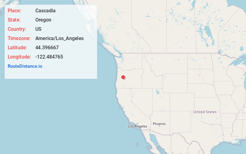
Full AddressCascadia, OR
-
Coordinates44.3966665, -122.4847651
-
LocationCascadia , Oregon , US
-
TimezoneAmerica/Los_Angeles
-
Current Local Time9:29:26 AM America/Los_AngelesFriday, May 30, 2025
-
Page Views0
About Cascadia
Cascadia is an unincorporated community and census-designated place that was established in 1892 on the South Santiam River, 14 miles east of the current city of Sweet Home, in Linn County, Oregon, United States. As of the 2010 census it had a population of 147.


Nearby Places
Found 10 places within 50 miles

Sweet Home
12.4 mi
20.0 km
Sweet Home, OR
Get directions

Holley
15.1 mi
24.3 km
Holley, OR 97386
Get directions

Waterloo
18.1 mi
29.1 km
Waterloo, OR 97355
Get directions

Lacomb
18.2 mi
29.3 km
Lacomb, OR 97355
Get directions

Crawfordsville
18.6 mi
29.9 km
Crawfordsville, OR
Get directions

Sodaville
19.9 mi
32.0 km
Sodaville, OR 97355
Get directions

South Lebanon
21.9 mi
35.2 km
South Lebanon, OR 97355
Get directions

Lebanon
23.0 mi
37.0 km
Lebanon, OR 97355
Get directions

Marcola
24.1 mi
38.8 km
Marcola, OR
Get directions

Brownsville
24.7 mi
39.8 km
Brownsville, OR 97327
Get directions
Location Links
Local Weather
Weather Information
Coming soon!
Location Map
Static map view of Cascadia, Oregon
Browse Places by Distance
Places within specific distances from Cascadia
Short Distances
Long Distances
Click any distance to see all places within that range from Cascadia. Distances shown in miles (1 mile ≈ 1.61 kilometers).