Distance to Casnovia, Michigan

Calculating Your Route
Just a moment while we process your request...
Location Information
-
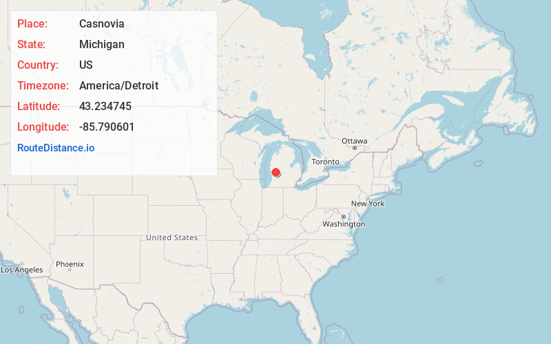
Full AddressCasnovia, MI
-
Coordinates43.2347449, -85.7906006
-
LocationCasnovia , Michigan , US
-
TimezoneAmerica/Detroit
-
Current Local Time6:30:11 AM America/DetroitFriday, June 20, 2025
-
Page Views0
About Casnovia
Casnovia is a village in the U.S. state of Michigan. It is situated on the boundary between Muskegon and Kent counties and lies partially within each. The population was 316 at the 2020 census.
Nearby Places
Found 10 places within 50 miles

Kent City
2.2 mi
3.5 km
Kent City, MI 49330
Get directions

Sparta
6.5 mi
10.5 km
Sparta, MI 49345
Get directions

Grant
7.1 mi
11.4 km
Grant, MI 49327
Get directions

Ravenna
8.0 mi
12.9 km
Ravenna, MI 49451
Get directions

Cedar Springs
12.1 mi
19.5 km
Cedar Springs, MI 49319
Get directions

Newaygo
12.8 mi
20.6 km
Newaygo, MI 49337
Get directions

Coopersville
13.9 mi
22.4 km
Coopersville, MI 49404
Get directions

Rockford
14.1 mi
22.7 km
Rockford, MI
Get directions

Sand Lake
14.3 mi
23.0 km
Sand Lake, MI 49343
Get directions

Comstock Park
14.9 mi
24.0 km
Comstock Park, MI
Get directions
Location Links
Local Weather
Weather Information
Coming soon!
Location Map
Static map view of Casnovia, Michigan
Browse Places by Distance
Places within specific distances from Casnovia
Short Distances
Long Distances
Click any distance to see all places within that range from Casnovia. Distances shown in miles (1 mile ≈ 1.61 kilometers).