Distance to Castle, Oklahoma

Calculating Your Route
Just a moment while we process your request...
Location Information
-
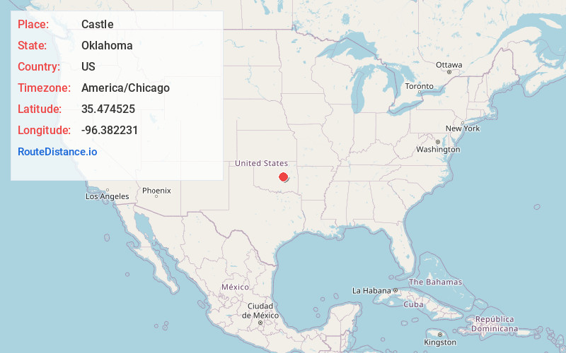
Full AddressCastle, OK
-
Coordinates35.4745245, -96.3822305
-
LocationCastle , Oklahoma , US
-
TimezoneAmerica/Chicago
-
Current Local Time3:35:53 AM America/ChicagoWednesday, June 18, 2025
-
Page Views0
About Castle
Castle is a town in Okfuskee County, Oklahoma, United States. A post office was established February 25, 1903, and the town was named for the first postmaster, Manford B. Castle. The population was 169 at the 2020 Census.
Nearby Places
Found 10 places within 50 miles

Okemah
5.2 mi
8.4 km
Okemah, OK 74859
Get directions

Boley
5.9 mi
9.5 km
Boley, OK 74829
Get directions

Cromwell
10.2 mi
16.4 km
Cromwell, OK
Get directions

Paden
10.7 mi
17.2 km
Paden, OK 74860
Get directions

Weleetka
16.8 mi
27.0 km
Weleetka, OK
Get directions

Prague
17.1 mi
27.5 km
Prague, OK
Get directions

Wetumka
18.2 mi
29.3 km
Wetumka, OK 74883
Get directions

Slick
21.9 mi
35.2 km
Slick, OK
Get directions

Henryetta
22.7 mi
36.5 km
Henryetta, OK 74437
Get directions

Wewoka
22.7 mi
36.5 km
Wewoka, OK 74884
Get directions
Location Links
Local Weather
Weather Information
Coming soon!
Location Map
Static map view of Castle, Oklahoma
Browse Places by Distance
Places within specific distances from Castle
Short Distances
Long Distances
Click any distance to see all places within that range from Castle. Distances shown in miles (1 mile ≈ 1.61 kilometers).