Distance to Cromwell, Oklahoma

Calculating Your Route
Just a moment while we process your request...
Location Information
-
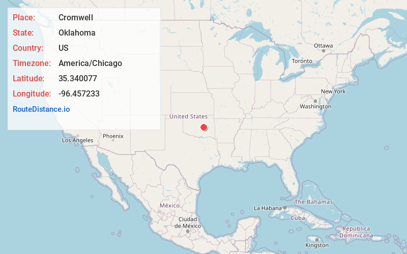
Full AddressCromwell, OK
-
Coordinates35.3400771, -96.4572334
-
LocationCromwell , Oklahoma , US
-
TimezoneAmerica/Chicago
-
Current Local Time12:41:51 PM America/ChicagoWednesday, June 18, 2025
-
Page Views0
About Cromwell
Cromwell is a town in Seminole County, Oklahoma, United States. It is within the jurisdiction of the Muscogee Nation. The population was 238 at the time of the 2020 census. It was named for oilman Joe I. Cromwell, who platted the original town in 1923.
Nearby Places
Found 10 places within 50 miles

Okemah
10.7 mi
17.2 km
Okemah, OK 74859
Get directions

Boley
10.7 mi
17.2 km
Boley, OK 74829
Get directions

Wewoka
12.7 mi
20.4 km
Wewoka, OK 74884
Get directions

Paden
13.2 mi
21.2 km
Paden, OK 74860
Get directions

Wetumka
14.1 mi
22.7 km
Wetumka, OK 74883
Get directions

Seminole
14.4 mi
23.2 km
Seminole, OK
Get directions

Prague
16.3 mi
26.2 km
Prague, OK
Get directions

Bowlegs
18.0 mi
29.0 km
Bowlegs, OK
Get directions

Weleetka
18.1 mi
29.1 km
Weleetka, OK
Get directions

Holdenville
18.2 mi
29.3 km
Holdenville, OK 74848
Get directions
Location Links
Local Weather
Weather Information
Coming soon!
Location Map
Static map view of Cromwell, Oklahoma
Browse Places by Distance
Places within specific distances from Cromwell
Short Distances
Long Distances
Click any distance to see all places within that range from Cromwell. Distances shown in miles (1 mile ≈ 1.61 kilometers).