Distance to Bowlegs, Oklahoma

Calculating Your Route
Just a moment while we process your request...
Location Information
-
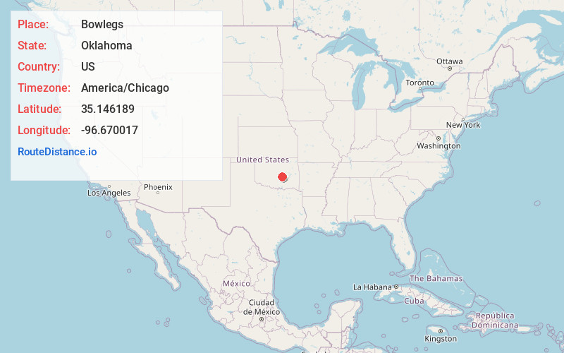
Full AddressBowlegs, OK
-
Coordinates35.1461889, -96.6700171
-
LocationBowlegs , Oklahoma , US
-
TimezoneAmerica/Chicago
-
Current Local Time6:04:11 AM America/ChicagoSunday, June 22, 2025
-
Page Views0
About Bowlegs
Bowlegs is a town in Seminole County, Oklahoma, United States. The population was 357 at the time of the 2020 census.


Nearby Places
Found 10 places within 50 miles

Seminole
5.4 mi
8.7 km
Seminole, OK
Get directions

Maud
6.1 mi
9.8 km
Maud, OK 74854
Get directions

Wewoka
10.0 mi
16.1 km
Wewoka, OK 74884
Get directions

Earlsboro
11.3 mi
18.2 km
Earlsboro, OK
Get directions

Konawa
13.7 mi
22.0 km
Konawa, OK 74849
Get directions

Holdenville
16.0 mi
25.7 km
Holdenville, OK 74848
Get directions

Tecumseh
16.9 mi
27.2 km
Tecumseh, OK
Get directions

Asher
18.0 mi
29.0 km
Asher, OK 74826
Get directions

Shawnee
19.1 mi
30.7 km
Shawnee, OK
Get directions

Byng
19.7 mi
31.7 km
Byng, OK 74820
Get directions
Location Links
Local Weather
Weather Information
Coming soon!
Location Map
Static map view of Bowlegs, Oklahoma
Browse Places by Distance
Places within specific distances from Bowlegs
Short Distances
Long Distances
Click any distance to see all places within that range from Bowlegs. Distances shown in miles (1 mile ≈ 1.61 kilometers).