Distance to Holdenville, Oklahoma

Calculating Your Route
Just a moment while we process your request...
Location Information
-
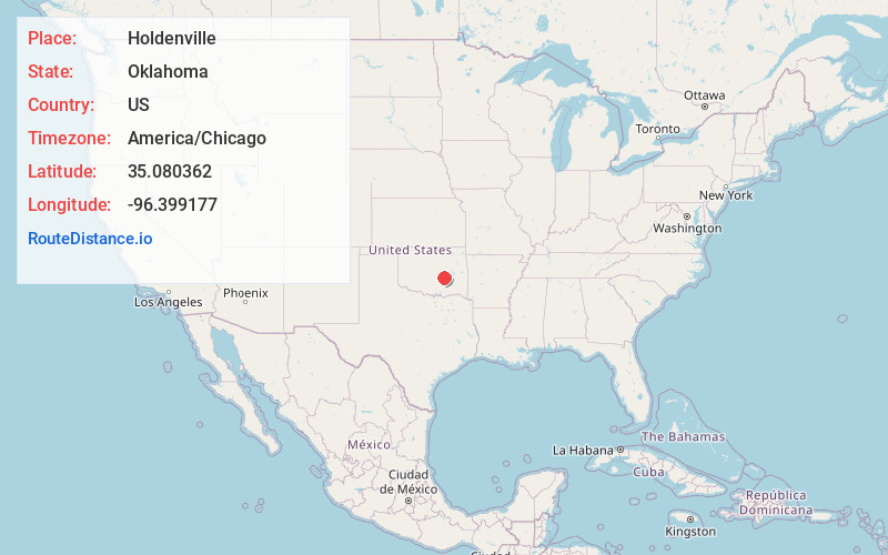
Full AddressHoldenville, OK 74848
-
Coordinates35.0803617, -96.3991765
-
LocationHoldenville , Oklahoma , US
-
TimezoneAmerica/Chicago
-
Current Local Time6:34:17 PM America/ChicagoThursday, June 5, 2025
-
Website
-
Page Views0
About Holdenville
Holdenville is a city in and county seat of Hughes County, Oklahoma, United States. The population was 5,934 at the time of the 2020 United States census.


Nearby Places
Found 6 places within 50 miles

Seminole
18.3 mi
29.5 km
Seminole, OK
Get directions

Ada
26.4 mi
42.5 km
Ada, OK
Get directions

Tecumseh
32.7 mi
52.6 km
Tecumseh, OK
Get directions

Shawnee
34.3 mi
55.2 km
Shawnee, OK
Get directions

McAlester
37.0 mi
59.5 km
McAlester, OK 74501
Get directions

Okmulgee
45.4 mi
73.1 km
Okmulgee, OK 74447
Get directions
Location Links
Local Weather
Weather Information
Coming soon!
Location Map
Static map view of Holdenville, Oklahoma
Browse Places by Distance
Places within specific distances from Holdenville
Short Distances
Long Distances
Click any distance to see all places within that range from Holdenville. Distances shown in miles (1 mile ≈ 1.61 kilometers).