Distance to Okmulgee, Oklahoma

Calculating Your Route
Just a moment while we process your request...
Location Information
-
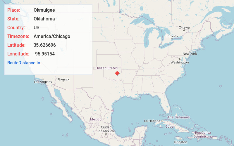
Full AddressOkmulgee, OK 74447
-
Coordinates35.6266957, -95.9515399
-
LocationOkmulgee , Oklahoma , US
-
TimezoneAmerica/Chicago
-
Current Local Time6:21:49 AM America/ChicagoSunday, June 22, 2025
-
Website
-
Page Views0
About Okmulgee
Okmulgee is a city in the Tulsa metropolitan area and the county seat of Okmulgee County in Oklahoma, United States. The name is from the Muskogee word okimulgi, which means "boiling waters". The site was chosen because of the nearby rivers and springs.


Nearby Places
Found 10 places within 50 miles

Bixby
22.1 mi
35.6 km
Bixby, OK
Get directions

Glenpool
22.9 mi
36.9 km
Glenpool, OK
Get directions

Sapulpa
27.3 mi
43.9 km
Sapulpa, OK
Get directions

Jenks
27.4 mi
44.1 km
Jenks, OK
Get directions

Broken Arrow
31.2 mi
50.2 km
Broken Arrow, OK
Get directions

Muskogee
33.7 mi
54.2 km
Muskogee, OK
Get directions

Sand Springs
36.5 mi
58.7 km
Sand Springs, OK
Get directions

Tulsa
36.6 mi
58.9 km
Tulsa, OK
Get directions

Owasso
44.7 mi
71.9 km
Owasso, OK
Get directions

McAlester
49.0 mi
78.9 km
McAlester, OK 74501
Get directions
Location Links
Local Weather
Weather Information
Coming soon!
Location Map
Static map view of Okmulgee, Oklahoma
Browse Places by Distance
Places within specific distances from Okmulgee
Short Distances
Long Distances
Click any distance to see all places within that range from Okmulgee. Distances shown in miles (1 mile ≈ 1.61 kilometers).