Distance to Castleton, Vermont

Calculating Your Route
Just a moment while we process your request...
Location Information
-
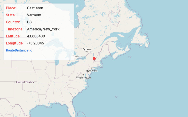
Full AddressCastleton, VT
-
Coordinates43.608439, -73.2084496
-
LocationCastleton , Vermont , US
-
TimezoneAmerica/New_York
-
Current Local Time11:59:23 PM America/New_YorkSunday, June 1, 2025
-
Page Views0
About Castleton
Castleton is a town in Rutland County, Vermont, United States. Castleton is about 15 miles to the west of Rutland, the county's seat and most populous city, and about 7 miles east of the New York/Vermont state border. The town had a population of 4,458 at the 2020 census.


Nearby Places
Found 10 places within 50 miles

Rutland
11.8 mi
19.0 km
Rutland, VT 05701
Get directions

Granville
14.1 mi
22.7 km
Granville, NY 12832
Get directions

Fort Ann
19.4 mi
31.2 km
Fort Ann, NY 12827
Get directions

Ticonderoga
19.8 mi
31.9 km
Ticonderoga, NY 12883
Get directions

Queensbury
28.4 mi
45.7 km
Queensbury, NY
Get directions

Hudson Falls
28.5 mi
45.9 km
Hudson Falls, NY 12839
Get directions

Glens Falls
30.1 mi
48.4 km
Glens Falls, NY
Get directions

Fort Edward
30.2 mi
48.6 km
Fort Edward, NY 12828
Get directions

West Glens Falls
31.4 mi
50.5 km
West Glens Falls, NY
Get directions

Manchester
31.5 mi
50.7 km
Manchester, VT
Get directions
Location Links
Local Weather
Weather Information
Coming soon!
Location Map
Static map view of Castleton, Vermont
Browse Places by Distance
Places within specific distances from Castleton
Short Distances
Long Distances
Click any distance to see all places within that range from Castleton. Distances shown in miles (1 mile ≈ 1.61 kilometers).