Distance to Castleton, Virginia

Calculating Your Route
Just a moment while we process your request...
Location Information
-
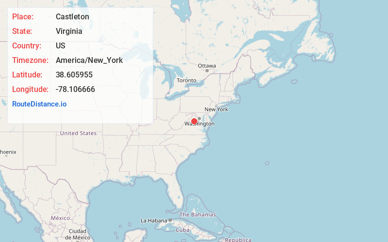
Full AddressCastleton, VA 22716
-
Coordinates38.6059551, -78.1066655
-
LocationCastleton , Virginia , US
-
TimezoneAmerica/New_York
-
Current Local Time12:10:50 AM America/New_YorkFriday, June 20, 2025
-
Page Views0
About Castleton
Castleton is an unincorporated community in Rappahannock County in the U.S. state of Virginia. It is located northwest of Culpeper.
Nearby Places
Found 10 places within 50 miles

Viewtown
4.3 mi
6.9 km
Viewtown, VA 20106
Get directions
Boston
4.6 mi
7.4 km
Boston, VA 22713
Get directions
Cardova
6.3 mi
10.1 km
Cardova, VA 22701
Get directions
Norman
6.8 mi
10.9 km
Norman, VA 22713
Get directions

Sperryville
7.4 mi
11.9 km
Sperryville, VA 22740
Get directions

Reva
7.9 mi
12.7 km
Reva, VA 22713
Get directions
Oakshade
8.2 mi
13.2 km
Oakshade, VA 22737
Get directions
Nethers
9.6 mi
15.4 km
Nethers, VA 22719
Get directions
Flint Hill
10.8 mi
17.4 km
Flint Hill, VA
Get directions

Culpeper
10.9 mi
17.5 km
Culpeper, VA 22701
Get directions
Location Links
Local Weather
Weather Information
Coming soon!
Location Map
Static map view of Castleton, Virginia
Browse Places by Distance
Places within specific distances from Castleton
Short Distances
Long Distances
Click any distance to see all places within that range from Castleton. Distances shown in miles (1 mile ≈ 1.61 kilometers).