Distance to Flint Hill, Virginia

Calculating Your Route
Just a moment while we process your request...
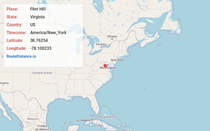
Location Information
-
Full AddressFlint Hill, VA
-
Coordinates38.7625404, -78.1002333
-
LocationFlint Hill , Virginia , US
-
TimezoneAmerica/New_York
-
Current Local Time9:02:25 AM America/New_YorkThursday, June 19, 2025
-
Page Views0
About Flint Hill
Flint Hill is a census-designated place in Rappahannock County, Virginia, United States. The population as of the 2010 Census was 209. It is located on Route 522, approximately 2 miles to the east of the border of Shenandoah National Park.
Nearby Places
Found 10 places within 50 miles

Chester Gap
6.6 mi
10.6 km
Chester Gap, VA
Get directions

Sperryville
10.0 mi
16.1 km
Sperryville, VA 22740
Get directions

Skyland Estates
11.1 mi
17.9 km
Skyland Estates, VA 22642
Get directions
Apple Mountain Lake
11.2 mi
18.0 km
Apple Mountain Lake, VA 22642
Get directions

Front Royal
11.9 mi
19.2 km
Front Royal, VA 22630
Get directions
Shenandoah Shores
13.8 mi
22.2 km
Shenandoah Shores, VA 22630
Get directions

Marshall
15.0 mi
24.1 km
Marshall, VA
Get directions
Boston
15.3 mi
24.6 km
Boston, VA 22713
Get directions

Warrenton
16.8 mi
27.0 km
Warrenton, VA
Get directions
Opal
18.9 mi
30.4 km
Opal, VA
Get directions
Location Links
Local Weather
Weather Information
Coming soon!
Location Map
Static map view of Flint Hill, Virginia
Browse Places by Distance
Places within specific distances from Flint Hill
Short Distances
Long Distances
Click any distance to see all places within that range from Flint Hill. Distances shown in miles (1 mile ≈ 1.61 kilometers).