Distance to Opal, Virginia

Calculating Your Route
Just a moment while we process your request...
Location Information
-
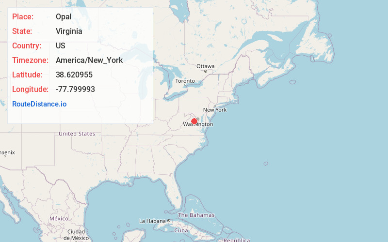
Full AddressOpal, VA
-
Coordinates38.6209547, -77.7999933
-
LocationOpal , Virginia , US
-
TimezoneAmerica/New_York
-
Current Local Time10:09:48 AM America/New_YorkFriday, May 30, 2025
-
Page Views0
About Opal
Opal is an unincorporated community and census-designated place in Fauquier County, Virginia, United States. It is on U.S. Highway 15/U.S. Route 17 and U.S. Route 29, at an elevation of 449 feet. The population as of the 2010 census was 691.
Nearby Places
Found 10 places within 50 miles

Bealeton
3.1 mi
5.0 km
Bealeton, VA 22712
Get directions

Remington
6.0 mi
9.7 km
Remington, VA
Get directions

Warrenton
6.4 mi
10.3 km
Warrenton, VA
Get directions

New Baltimore
10.8 mi
17.4 km
New Baltimore, VA
Get directions

Nokesville
13.0 mi
20.9 km
Nokesville, VA 20181
Get directions

Culpeper
14.7 mi
23.7 km
Culpeper, VA 22701
Get directions

Gainesville
15.7 mi
25.3 km
Gainesville, VA
Get directions

Haymarket
15.9 mi
25.6 km
Haymarket, VA
Get directions

Marshall
17.2 mi
27.7 km
Marshall, VA
Get directions
Bull Run
18.8 mi
30.3 km
Bull Run, VA 20109
Get directions
Location Links
Local Weather
Weather Information
Coming soon!
Location Map
Static map view of Opal, Virginia
Browse Places by Distance
Places within specific distances from Opal
Short Distances
Long Distances
Click any distance to see all places within that range from Opal. Distances shown in miles (1 mile ≈ 1.61 kilometers).