Distance to Warrenton, Virginia

Calculating Your Route
Just a moment while we process your request...
Location Information
-
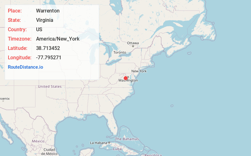
Full AddressWarrenton, VA
-
Coordinates38.7134516, -77.7952712
-
LocationWarrenton , Virginia , US
-
TimezoneAmerica/New_York
-
Current Local Time12:12:05 AM America/New_YorkThursday, June 5, 2025
-
Website
-
Page Views0
About Warrenton
Warrenton is a town in Fauquier County, Virginia, United States. It is the county seat. The population was 10,057 as of the 2020 census, an increase from 9,611 at the 2010 census and 6,670 at the 2000 census. The estimated population in July 2021 was 10,109.


Nearby Places
Found 10 places within 50 miles

New Baltimore
5.2 mi
8.4 km
New Baltimore, VA
Get directions

Gainesville
11.3 mi
18.2 km
Gainesville, VA
Get directions
Bull Run
15.6 mi
25.1 km
Bull Run, VA 20109
Get directions
Sudley
17.0 mi
27.4 km
Sudley, VA 20109
Get directions

Manassas
17.7 mi
28.5 km
Manassas, VA
Get directions

Manassas Park
18.2 mi
29.3 km
Manassas Park, VA 20111
Get directions

Yorkshire
19.5 mi
31.4 km
Yorkshire, VA 20111
Get directions

Stone Ridge
19.6 mi
31.5 km
Stone Ridge, VA
Get directions
Buckhall
19.6 mi
31.5 km
Buckhall, VA
Get directions

Culpeper
19.8 mi
31.9 km
Culpeper, VA 22701
Get directions
Location Links
Local Weather
Weather Information
Coming soon!
Location Map
Static map view of Warrenton, Virginia
Browse Places by Distance
Places within specific distances from Warrenton
Short Distances
Long Distances
Click any distance to see all places within that range from Warrenton. Distances shown in miles (1 mile ≈ 1.61 kilometers).