Distance to Chester Gap, Virginia

Calculating Your Route
Just a moment while we process your request...
Location Information
-
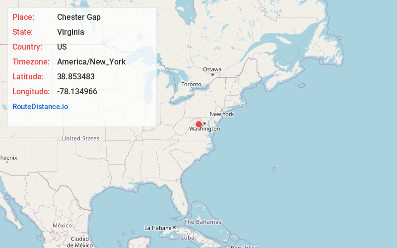
Full AddressChester Gap, VA
-
Coordinates38.8534829, -78.1349657
-
LocationChester Gap , Virginia , US
-
TimezoneAmerica/New_York
-
Current Local Time2:50:03 AM America/New_YorkSaturday, June 14, 2025
-
Page Views0
About Chester Gap
Chester Gap is a census-designated place in Rappahannock and Warren Counties, Virginia, United States. The population as of the 2010 Census was 839. The CDP is named for Chester Gap, the wind gap within which it is located.


Nearby Places
Found 10 places within 50 miles

Apple Mountain Lake
5.2 mi
8.4 km
Apple Mountain Lake, VA 22642
Get directions

Front Royal
5.5 mi
8.9 km
Front Royal, VA 22630
Get directions

Middletown
14.4 mi
23.2 km
Middletown, VA 22645
Get directions

Marshall
15.1 mi
24.3 km
Marshall, VA
Get directions

Strasburg
15.2 mi
24.5 km
Strasburg, VA 22657
Get directions

Stephens City
16.5 mi
26.6 km
Stephens City, VA
Get directions

Woodstock
20.0 mi
32.2 km
Woodstock, VA 22664
Get directions

Warrenton
20.7 mi
33.3 km
Warrenton, VA
Get directions

Luray
21.8 mi
35.1 km
Luray, VA 22835
Get directions

Berryville
22.2 mi
35.7 km
Berryville, VA 22611
Get directions
Location Links
Local Weather
Weather Information
Coming soon!
Location Map
Static map view of Chester Gap, Virginia
Browse Places by Distance
Places within specific distances from Chester Gap
Short Distances
Long Distances
Click any distance to see all places within that range from Chester Gap. Distances shown in miles (1 mile ≈ 1.61 kilometers).