Distance to Cayucos, California

Calculating Your Route
Just a moment while we process your request...
Location Information
-
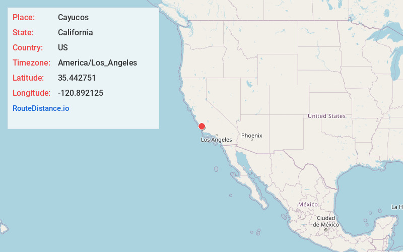
Full AddressCayucos, CA 93430
-
Coordinates35.4427511, -120.8921254
-
LocationCayucos , California , US
-
TimezoneAmerica/Los_Angeles
-
Current Local Time9:58:26 PM America/Los_AngelesSunday, June 1, 2025
-
Page Views0
About Cayucos
Cayucos is an unincorporated coastal town in San Luis Obispo County, California, along California State Route 1 between Cambria to the north and Morro Bay to the south. The population was 2,505 at the 2020 census, down from 2,592 at the 2010 census.


Nearby Places
Found 10 places within 50 miles

Morro Bay
5.8 mi
9.3 km
Morro Bay, CA
Get directions

Baywood-Los Osos
9.8 mi
15.8 km
Baywood-Los Osos, CA
Get directions

Templeton
12.8 mi
20.6 km
Templeton, CA
Get directions

Atascadero
12.9 mi
20.8 km
Atascadero, CA 93422
Get directions

Cambria
13.5 mi
21.7 km
Cambria, CA
Get directions

San Luis Obispo
17.1 mi
27.5 km
San Luis Obispo, CA
Get directions

Paso Robles
18.9 mi
30.4 km
Paso Robles, CA 93446
Get directions

Lake Nacimiento
19.7 mi
31.7 km
Lake Nacimiento, CA 93446
Get directions

San Miguel
24.1 mi
38.8 km
San Miguel, CA 93451
Get directions

Pismo Beach
25.1 mi
40.4 km
Pismo Beach, CA
Get directions
Location Links
Local Weather
Weather Information
Coming soon!
Location Map
Static map view of Cayucos, California
Browse Places by Distance
Places within specific distances from Cayucos
Short Distances
Long Distances
Click any distance to see all places within that range from Cayucos. Distances shown in miles (1 mile ≈ 1.61 kilometers).