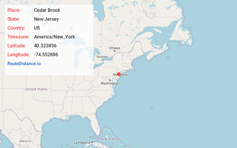
Distance to Cedar Brook, New Jersey

Calculating Your Route
Just a moment while we process your request...
Location Information
-
Full AddressCedar Brook, New Jersey
-
Coordinates40.323856, -74.5528861
-
LocationNew Jersey , US
-
TimezoneAmerica/New_York
-
Current Local Time8:34:55 PM America/New_YorkTuesday, June 17, 2025
-
Page Views0
Nearby Places
Found 10 places within 50 miles

Plainsboro Township
1.9 mi
3.1 km
Plainsboro Township, NJ
Get directions

Cranbury
2.4 mi
3.9 km
Cranbury, NJ
Get directions

Old Mill Farms
2.7 mi
4.3 km
Old Mill Farms, West Windsor Township, NJ 08550
Get directions
Cranbury Station
3.6 mi
5.8 km
Cranbury Station, Cranbury, NJ 08512
Get directions

East Windsor
3.6 mi
5.8 km
East Windsor, NJ
Get directions

Hightstown
4.1 mi
6.6 km
Hightstown, NJ 08520
Get directions
Dutch Neck
4.3 mi
6.9 km
Dutch Neck, West Windsor Township, NJ 08550
Get directions

West Windsor Township
4.5 mi
7.2 km
West Windsor Township, NJ
Get directions

Monroe Township
5.3 mi
8.5 km
Monroe Township, NJ 08831
Get directions

Princeton
5.8 mi
9.3 km
Princeton, NJ
Get directions
Location Links
Local Weather
Weather Information
Coming soon!
Location Map
Static map view of Cedar Brook, New Jersey
Browse Places by Distance
Places within specific distances from Cedar Brook
Short Distances
Long Distances
Click any distance to see all places within that range from Cedar Brook. Distances shown in miles (1 mile ≈ 1.61 kilometers).