Distance to Cedar Falls, North Carolina

Calculating Your Route
Just a moment while we process your request...
Location Information
-
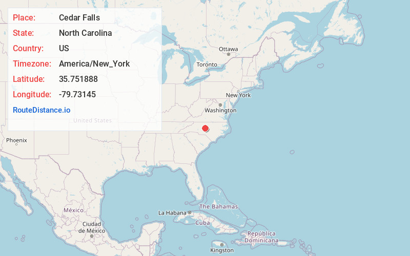
Full AddressCedar Falls, Franklinville, NC
-
Coordinates35.7518883, -79.7314503
-
NeighborhoodCedar Falls
-
LocationFranklinville , North Carolina , US
-
TimezoneAmerica/New_York
-
Current Local Time12:41:26 AM America/New_YorkSaturday, June 7, 2025
-
Page Views0
About Cedar Falls
Cedar Falls is an unincorporated community in Randolph County, North Carolina, United States. The community is located along the Deep River, 5.5 miles northeast of Asheboro. Cedar Falls has a post office with ZIP code 27230, which opened on March 4, 1878.


Nearby Places
Found 10 places within 50 miles

Franklinville
2.3 mi
3.7 km
Franklinville, NC
Get directions

Ramseur
4.6 mi
7.4 km
Ramseur, NC
Get directions

Asheboro
5.5 mi
8.9 km
Asheboro, NC
Get directions

Randleman
6.1 mi
9.8 km
Randleman, NC 27317
Get directions

Staley
10.5 mi
16.9 km
Staley, NC 27355
Get directions

Liberty
11.4 mi
18.3 km
Liberty, NC 27298
Get directions

Pleasant Garden
14.6 mi
23.5 km
Pleasant Garden, NC
Get directions

Seagrove
14.8 mi
23.8 km
Seagrove, NC
Get directions

Siler City
15.2 mi
24.5 km
Siler City, NC 27344
Get directions

Bennett
16.7 mi
26.9 km
Bennett, NC 27208
Get directions
Location Links
Local Weather
Weather Information
Coming soon!
Location Map
Static map view of Cedar Falls, North Carolina
Browse Places by Distance
Places within specific distances from Cedar Falls
Short Distances
Long Distances
Click any distance to see all places within that range from Cedar Falls. Distances shown in miles (1 mile ≈ 1.61 kilometers).