Distance to Cedar Fort, Utah

Calculating Your Route
Just a moment while we process your request...
Location Information
-
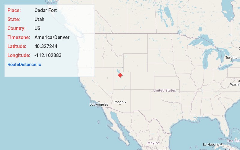
Full AddressCedar Fort, UT 84013
-
Coordinates40.3272439, -112.1023832
-
LocationCedar Fort , Utah , US
-
TimezoneAmerica/Denver
-
Current Local Time2:31:37 PM America/DenverWednesday, June 18, 2025
-
Page Views0
About Cedar Fort
Cedar Fort is a town in Utah County, Utah, United States. It is part of the Provo–Orem Metropolitan Statistical Area. The population was 368 at the 2010 census.

Nearby Places
Found 10 places within 50 miles

Eagle Mountain
5.1 mi
8.2 km
Eagle Mountain, UT
Get directions

Saratoga Springs
10.4 mi
16.7 km
Saratoga Springs, UT
Get directions

Herriman
13.4 mi
21.6 km
Herriman, UT
Get directions

Lehi
14.0 mi
22.5 km
Lehi, UT
Get directions

Bluffdale
14.1 mi
22.7 km
Bluffdale, UT
Get directions

Riverton
16.0 mi
25.7 km
Riverton, UT
Get directions

Stockton
16.2 mi
26.1 km
Stockton, UT 84071
Get directions

Copperton
16.4 mi
26.4 km
Copperton, UT 84006
Get directions

American Fork
16.5 mi
26.6 km
American Fork, UT 84003
Get directions

Highland
17.4 mi
28.0 km
Highland, UT
Get directions
Location Links
Local Weather
Weather Information
Coming soon!
Location Map
Static map view of Cedar Fort, Utah
Browse Places by Distance
Places within specific distances from Cedar Fort
Short Distances
Long Distances
Click any distance to see all places within that range from Cedar Fort. Distances shown in miles (1 mile ≈ 1.61 kilometers).