Distance to Cedar Green, Virginia

Calculating Your Route
Just a moment while we process your request...
Location Information
-
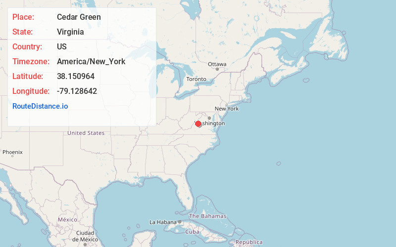
Full AddressCedar Green, VA 24401
-
Coordinates38.1509641, -79.128642
-
LocationVirginia , US
-
TimezoneAmerica/New_York
-
Current Local Time5:49:42 AM America/New_YorkThursday, June 19, 2025
-
Page Views0
About Cedar Green
Cedar Green is an unincorporated community in Augusta County, Virginia, United States. Cedar Green is located along Virginia State Route 254 3.1 miles west of Staunton. The Augusta County Training School, which is listed on the National Register of Historic Places, is located near Cedar Green.
Nearby Places
Found 10 places within 50 miles

Snyder
0.9 mi
1.4 km
Snyder, VA 24401
Get directions

Staunton
3.0 mi
4.8 km
Staunton, VA 24401
Get directions

Jolivue
4.0 mi
6.4 km
Jolivue, VA 24401
Get directions

Swoope
4.3 mi
6.9 km
Swoope, VA 24479
Get directions
Peyton
4.8 mi
7.7 km
Peyton, Staunton, VA 24401
Get directions
Trimbles Mill
5.0 mi
8.0 km
Trimbles Mill, VA 24479
Get directions
Mint Spring
5.5 mi
8.9 km
Mint Spring, VA 24401
Get directions

Churchville
5.5 mi
8.9 km
Churchville, VA 24421
Get directions

Verona
7.4 mi
11.9 km
Verona, VA
Get directions

Middlebrook
8.3 mi
13.4 km
Middlebrook, VA
Get directions
Location Links
Local Weather
Weather Information
Coming soon!
Location Map
Static map view of Cedar Green, Virginia
Browse Places by Distance
Places within specific distances from Cedar Green
Short Distances
Long Distances
Click any distance to see all places within that range from Cedar Green. Distances shown in miles (1 mile ≈ 1.61 kilometers).