Distance to Cedar Hammock, Florida

Calculating Your Route
Just a moment while we process your request...
Location Information
-
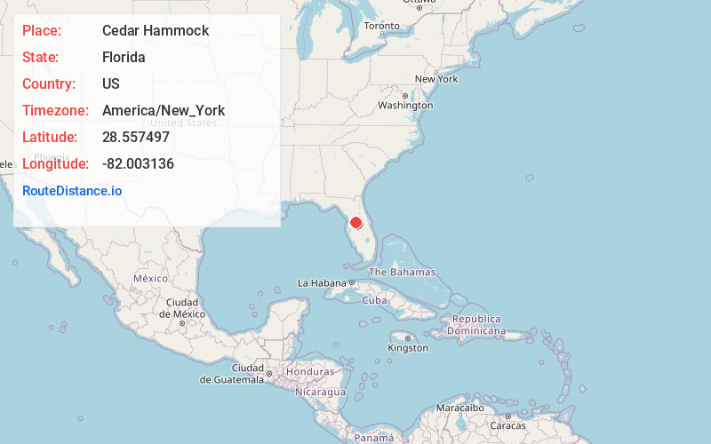
Full AddressCedar Hammock, Florida 33597
-
Coordinates28.5574974, -82.0031358
-
LocationFlorida , US
-
TimezoneAmerica/New_York
-
Current Local Time5:09:45 PM America/New_YorkTuesday, June 17, 2025
-
Page Views0
Nearby Places
Found 10 places within 50 miles

Tarrytown
3.1 mi
5.0 km
Tarrytown, FL 33597
Get directions

Slones Ridge
3.9 mi
6.3 km
Slones Ridge, FL 34736
Get directions

Webster
4.8 mi
7.7 km
Webster, FL
Get directions

Center Hill
6.4 mi
10.3 km
Center Hill, FL
Get directions

Clay Sink
7.0 mi
11.3 km
Clay Sink, FL 33597
Get directions

Mascotte
7.1 mi
11.4 km
Mascotte, FL
Get directions

Richloam
7.7 mi
12.4 km
Richloam, FL 33597
Get directions

Groveland
8.9 mi
14.3 km
Groveland, FL
Get directions
Lincoln Park
9.2 mi
14.8 km
Lincoln Park, FL 33513
Get directions
Rerdell
9.3 mi
15.0 km
Rerdell, FL 33597
Get directions
Location Links
Local Weather
Weather Information
Coming soon!
Location Map
Static map view of Cedar Hammock, Florida
Browse Places by Distance
Places within specific distances from Cedar Hammock
Short Distances
Long Distances
Click any distance to see all places within that range from Cedar Hammock. Distances shown in miles (1 mile ≈ 1.61 kilometers).