Distance to Cedar Rapids, Nebraska

Calculating Your Route
Just a moment while we process your request...
Location Information
-
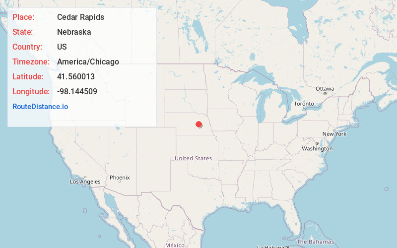
Full AddressCedar Rapids, NE 68627
-
Coordinates41.560013, -98.1445085
-
LocationCedar Rapids , Nebraska , US
-
TimezoneAmerica/Chicago
-
Current Local Time4:17:39 PM America/ChicagoWednesday, June 18, 2025
-
Website
-
Page Views0
About Cedar Rapids
Cedar Rapids is a village in Boone County, Nebraska, United States. The population was 382 at the 2010 census.
Nearby Places
Found 10 places within 50 miles

Albion
11.7 mi
18.8 km
Albion, NE 68620
Get directions

St Edward
14.4 mi
23.2 km
St Edward, NE 68660
Get directions

Fullerton
16.3 mi
26.2 km
Fullerton, NE 68638
Get directions

Genoa
22.8 mi
36.7 km
Genoa, NE 68640
Get directions
Newman Grove
23.1 mi
37.2 km
Newman Grove, NE 68758
Get directions

St Paul
28.9 mi
46.5 km
St Paul, NE 68873
Get directions
Elgin
29.4 mi
47.3 km
Elgin, NE 68636
Get directions

Central City
31.6 mi
50.9 km
Central City, NE 68826
Get directions

Humphrey
35.4 mi
57.0 km
Humphrey, NE 68642
Get directions
Duncan
35.7 mi
57.5 km
Duncan, NE
Get directions
Location Links
Local Weather
Weather Information
Coming soon!
Location Map
Static map view of Cedar Rapids, Nebraska
Browse Places by Distance
Places within specific distances from Cedar Rapids
Short Distances
Long Distances
Click any distance to see all places within that range from Cedar Rapids. Distances shown in miles (1 mile ≈ 1.61 kilometers).