Distance to Cedar Ridge, California

Calculating Your Route
Just a moment while we process your request...
Location Information
-
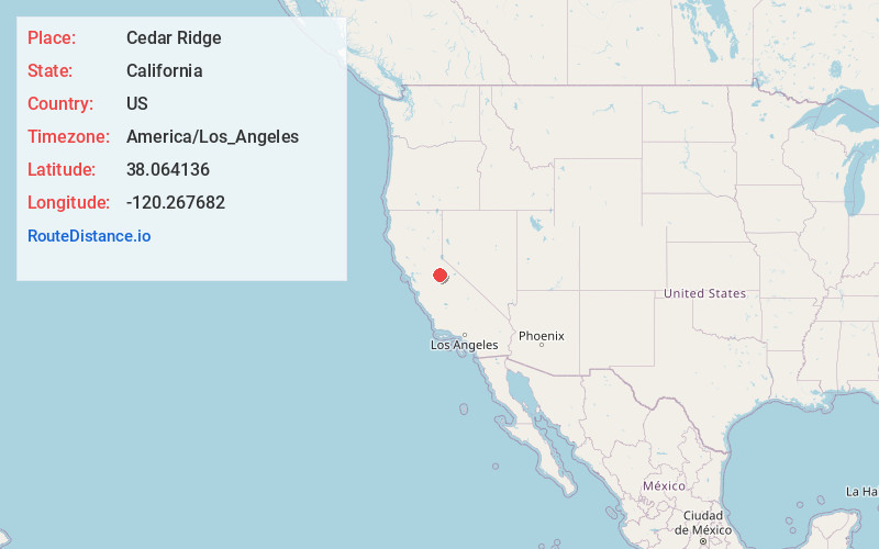
Full AddressCedar Ridge, CA 95370
-
Coordinates38.0641356, -120.2676824
-
LocationCedar Ridge , California , US
-
TimezoneAmerica/Los_Angeles
-
Current Local Time10:12:35 PM America/Los_AngelesSaturday, June 21, 2025
-
Page Views0
About Cedar Ridge
Cedar Ridge is a census-designated place in Tuolumne County, California. Cedar Ridge sits at an elevation of 3,760 feet. The 2010 United States census reported Cedar Ridge's population was 1,132.
Cedar Ridge was created a CDP for the 2010 census, previously it was part of the Phoenix Lake-Cedar Ridge CDP.
Nearby Places
Found 10 places within 50 miles

Twain Harte
2.7 mi
4.3 km
Twain Harte, CA
Get directions

Mono Vista
4.6 mi
7.4 km
Mono Vista, CA 95370
Get directions

Phoenix Lake
5.0 mi
8.0 km
Phoenix Lake, CA 95370
Get directions

Soulsbyville
5.5 mi
8.9 km
Soulsbyville, CA
Get directions

Columbia
7.5 mi
12.1 km
Columbia, CA
Get directions
East Sonora
7.9 mi
12.7 km
East Sonora, CA 95370
Get directions

Sonora
8.4 mi
13.5 km
Sonora, CA 95370
Get directions

Jamestown
11.4 mi
18.3 km
Jamestown, CA
Get directions

Murphys
11.6 mi
18.7 km
Murphys, CA
Get directions

Arnold
14.0 mi
22.5 km
Arnold, CA 95223
Get directions
Location Links
Local Weather
Weather Information
Coming soon!
Location Map
Static map view of Cedar Ridge, California
Browse Places by Distance
Places within specific distances from Cedar Ridge
Short Distances
Long Distances
Click any distance to see all places within that range from Cedar Ridge. Distances shown in miles (1 mile ≈ 1.61 kilometers).