Distance to Murphys, California

Calculating Your Route
Just a moment while we process your request...
Location Information
-
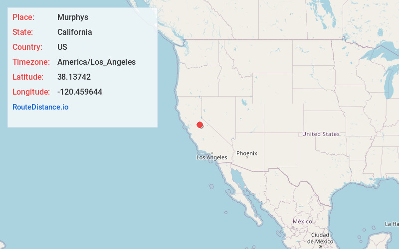
Full AddressMurphys, CA
-
Coordinates38.1374202, -120.4596437
-
LocationMurphys , California , US
-
TimezoneAmerica/Los_Angeles
-
Current Local Time6:43:48 AM America/Los_AngelesFriday, May 23, 2025
-
Page Views0
About Murphys
Murphys, originally Murphys New Diggings then Murphy's Camp, is an unincorporated village located in the foothills of the Sierra Nevada mountains in Calaveras County, California, United States. The population was 2,213 at the 2010 census, up from 2,061 at the 2000 census.


Nearby Places
Found 10 places within 50 miles

Angels Camp
6.4 mi
10.3 km
Angels Camp, CA 95222
Get directions

Columbia
7.7 mi
12.4 km
Columbia, CA
Get directions

Sonora
11.5 mi
18.5 km
Sonora, CA 95370
Get directions

East Sonora
12.3 mi
19.8 km
East Sonora, CA 95370
Get directions

Phoenix Lake
12.4 mi
20.0 km
Phoenix Lake, CA 95370
Get directions

San Andreas
12.7 mi
20.4 km
San Andreas, CA 95249
Get directions

Jamestown
12.9 mi
20.8 km
Jamestown, CA
Get directions

Mono Vista
14.1 mi
22.7 km
Mono Vista, CA 95370
Get directions

Twain Harte
14.3 mi
23.0 km
Twain Harte, CA
Get directions

Copperopolis
14.7 mi
23.7 km
Copperopolis, CA 95228
Get directions
Location Links
Local Weather
Weather Information
Coming soon!
Location Map
Static map view of Murphys, California
Browse Places by Distance
Places within specific distances from Murphys
Short Distances
Long Distances
Click any distance to see all places within that range from Murphys. Distances shown in miles (1 mile ≈ 1.61 kilometers).