Distance to Cedar Valley, Missouri

Calculating Your Route
Just a moment while we process your request...
Location Information
-
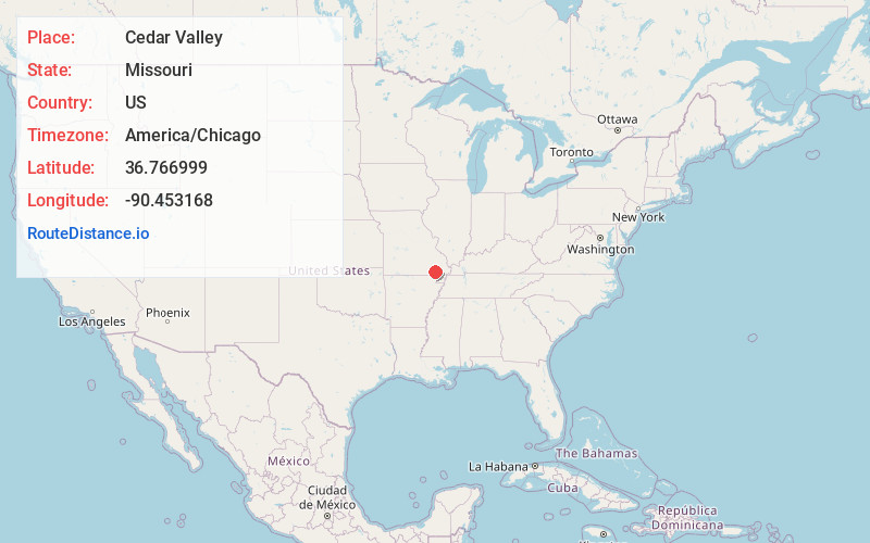
Full AddressCedar Valley, Poplar Bluff, MO 63901
-
Coordinates36.7669992, -90.4531683
-
LocationPoplar Bluff , Missouri , US
-
TimezoneAmerica/Chicago
-
Current Local Time12:15:55 AM America/ChicagoThursday, June 19, 2025
-
Page Views0
Nearby Places
Found 10 places within 50 miles

Poplar Bluff
3.4 mi
5.5 km
Poplar Bluff, MO 63901
Get directions

Harviell
7.1 mi
11.4 km
Harviell, MO
Get directions

Fairdealing
11.6 mi
18.7 km
Fairdealing, MO 63945
Get directions
Broseley
13.3 mi
21.4 km
Broseley, MO 63932
Get directions
Fisk
13.6 mi
21.9 km
Fisk, MO 63940
Get directions
Neelyville
14.5 mi
23.3 km
Neelyville, MO 63954
Get directions
Williamsville
15.1 mi
24.3 km
Williamsville, MO 63901
Get directions
Naylor
15.7 mi
25.3 km
Naylor, MO 63945
Get directions
Qulin
16.4 mi
26.4 km
Qulin, MO 63961
Get directions
Oxly
17.6 mi
28.3 km
Oxly, MO
Get directions
Location Links
Local Weather
Weather Information
Coming soon!
Location Map
Static map view of Cedar Valley, Missouri
Browse Places by Distance
Places within specific distances from Cedar Valley
Short Distances
Long Distances
Click any distance to see all places within that range from Cedar Valley. Distances shown in miles (1 mile ≈ 1.61 kilometers).