Distance to Cedaredge, Colorado

Calculating Your Route
Just a moment while we process your request...
Location Information
-
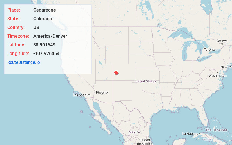
Full AddressCedaredge, CO 81413
-
Coordinates38.9016487, -107.926454
-
LocationCedaredge , Colorado , US
-
TimezoneAmerica/Denver
-
Current Local Time8:20:17 AM America/DenverSaturday, June 21, 2025
-
Website
-
Page Views0
About Cedaredge
Cedaredge is a home rule municipality located in Delta County, Colorado, United States. It is a small, agricultural community with 2,279 residents as of 2020, producing beef cattle, elk, apples, and peaches.


Nearby Places
Found 10 places within 50 miles

Orchard City
4.8 mi
7.7 km
Orchard City, CO
Get directions

Delta
13.4 mi
21.6 km
Delta, CO 81416
Get directions

Montrose
29.4 mi
47.3 km
Montrose, CO
Get directions

Clifton
31.0 mi
49.9 km
Clifton, CO
Get directions
Battlement Mesa
31.6 mi
50.9 km
Battlement Mesa, Colorado 81624
Get directions

Orchard Mesa
32.5 mi
52.3 km
Orchard Mesa, CO
Get directions
Fruitvale
32.5 mi
52.3 km
Fruitvale, CO 81504
Get directions

Grand Junction
36.2 mi
58.3 km
Grand Junction, CO
Get directions

Redlands
43.0 mi
69.2 km
Redlands, CO
Get directions

Rifle
44.4 mi
71.5 km
Rifle, CO 81650
Get directions
Location Links
Local Weather
Weather Information
Coming soon!
Location Map
Static map view of Cedaredge, Colorado
Browse Places by Distance
Places within specific distances from Cedaredge
Short Distances
Long Distances
Click any distance to see all places within that range from Cedaredge. Distances shown in miles (1 mile ≈ 1.61 kilometers).