Distance to Cedarvale, New Mexico

Calculating Your Route
Just a moment while we process your request...
Location Information
-
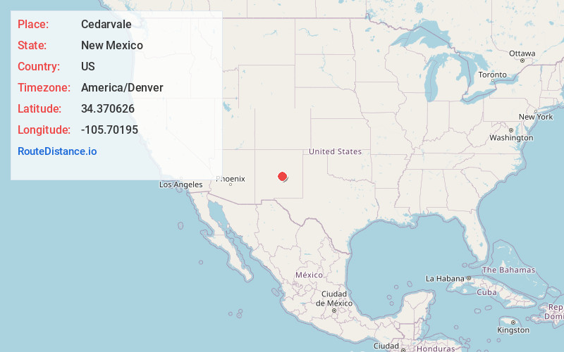
Full AddressCedarvale, NM 88318
-
Coordinates34.3706261, -105.7019501
-
LocationCedarvale , New Mexico , US
-
TimezoneAmerica/Denver
-
Current Local Time9:35:15 AM America/DenverFriday, June 20, 2025
-
Page Views0
About Cedarvale
Cedarvale is an unincorporated community in Torrance County, New Mexico, United States. Cedarvale is located on New Mexico State Road 42, 10.2 miles northwest of Corona. Cedarvale had a post office until it closed on May 15, 1990; it still has its own ZIP code, 87009.

Nearby Places
Found 10 places within 50 miles

Silio
20.1 mi
32.3 km
Silio, NM 87063
Get directions
Center Point Hill
24.1 mi
38.8 km
Center Point Hill, New Mexico 87036
Get directions
Tecolote
24.5 mi
39.4 km
Tecolote, NM 88318
Get directions

Willard
24.5 mi
39.4 km
Willard, NM
Get directions
Black Hat Group
32.3 mi
52.0 km
Black Hat Group, New Mexico 88301
Get directions

Mountainair
32.4 mi
52.1 km
Mountainair, NM 87036
Get directions

Estancia
33.5 mi
53.9 km
Estancia, NM
Get directions

Punta De Agua
36.7 mi
59.1 km
Punta De Agua, Punta de Agua, NM 87036
Get directions

McIntosh
39.5 mi
63.6 km
McIntosh, NM
Get directions
Reventon
39.9 mi
64.2 km
Reventon, NM 88301
Get directions
Location Links
Local Weather
Weather Information
Coming soon!
Location Map
Static map view of Cedarvale, New Mexico
Browse Places by Distance
Places within specific distances from Cedarvale
Short Distances
Long Distances
Click any distance to see all places within that range from Cedarvale. Distances shown in miles (1 mile ≈ 1.61 kilometers).