Distance to McIntosh, New Mexico

Calculating Your Route
Just a moment while we process your request...
Location Information
-
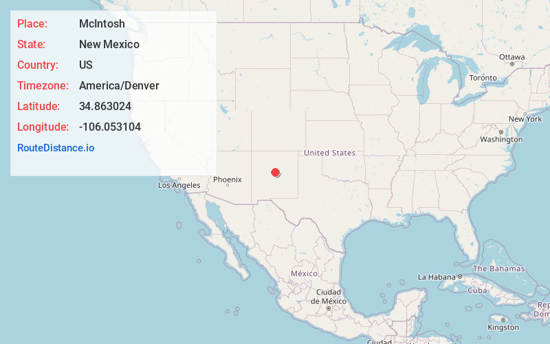
Full AddressMcIntosh, NM
-
Coordinates34.8630243, -106.053104
-
LocationMcIntosh , New Mexico , US
-
TimezoneAmerica/Denver
-
Current Local Time1:38:02 AM America/DenverThursday, June 19, 2025
-
Page Views0
About McIntosh
McIntosh is a census-designated place in Torrance County, New Mexico, United States. Its population was 1,484 as of the 2010 census. McIntosh has a post office with ZIP code 87032, which opened on August 28, 1906. New Mexico State Road 41 passes through the community.


Nearby Places
Found 10 places within 50 miles

Estancia
7.2 mi
11.6 km
Estancia, NM
Get directions

Moriarty
8.8 mi
14.2 km
Moriarty, NM 87035
Get directions

Edgewood
15.8 mi
25.4 km
Edgewood, NM
Get directions

Sedillo
21.4 mi
34.4 km
Sedillo, NM 87059
Get directions

Cedar Grove
22.6 mi
36.4 km
Cedar Grove, NM
Get directions

Tijeras
24.1 mi
38.8 km
Tijeras, NM 87059
Get directions

Cedar Crest
24.8 mi
39.9 km
Cedar Crest, NM
Get directions

Mountainair
26.0 mi
41.8 km
Mountainair, NM 87036
Get directions

San Antonito
26.6 mi
42.8 km
San Antonito, NM
Get directions

Carnuel
26.8 mi
43.1 km
Carnuel, NM 87123
Get directions
Location Links
Local Weather
Weather Information
Coming soon!
Location Map
Static map view of McIntosh, New Mexico
Browse Places by Distance
Places within specific distances from McIntosh
Short Distances
Long Distances
Click any distance to see all places within that range from McIntosh. Distances shown in miles (1 mile ≈ 1.61 kilometers).