Distance to Central, Alabama

Calculating Your Route
Just a moment while we process your request...
Location Information
-
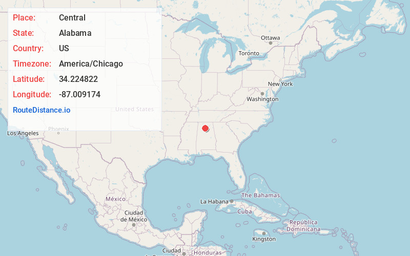
Full AddressCentral, AL 35057
-
Coordinates34.2248222, -87.0091742
-
LocationCentral , Alabama , US
-
TimezoneAmerica/Chicago
-
Current Local Time7:54:53 AM America/ChicagoSunday, June 1, 2025
-
Page Views0
About Central
Central Alabama is a region in the state of Alabama. It is sometimes considered part of North Alabama because both regions are mountainous, but in some definitions they are different regions.
Nearby Places
Found 10 places within 50 miles

Dripping Springs
1.2 mi
1.9 km
Dripping Springs, AL 35057
Get directions
Bethel
2.6 mi
4.2 km
Bethel, AL 35057
Get directions
West Point
3.0 mi
4.8 km
West Point, AL
Get directions

Logan
6.0 mi
9.7 km
Logan, AL 35098
Get directions
Nesmith
6.6 mi
10.6 km
Nesmith, AL 35057
Get directions

Vinemont
7.7 mi
12.4 km
Vinemont, AL 35179
Get directions
South Vinemont
8.3 mi
13.4 km
South Vinemont, AL
Get directions
Bell Springs
8.3 mi
13.4 km
Bell Springs, AL 35622
Get directions
Wilhites
8.9 mi
14.3 km
Wilhites, AL 35622
Get directions
Andrews Chapel
8.9 mi
14.3 km
Andrews Chapel, AL 35619
Get directions
Location Links
Local Weather
Weather Information
Coming soon!
Location Map
Static map view of Central, Alabama
Browse Places by Distance
Places within specific distances from Central
Short Distances
Long Distances
Click any distance to see all places within that range from Central. Distances shown in miles (1 mile ≈ 1.61 kilometers).