Distance to West Point, Alabama

Calculating Your Route
Just a moment while we process your request...
Location Information
-
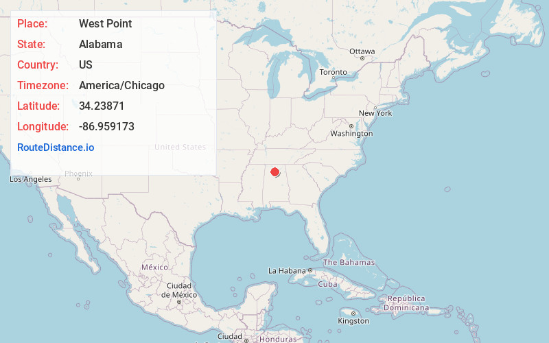
Full AddressWest Point, AL
-
Coordinates34.2387103, -86.9591727
-
LocationWest Point , Alabama , US
-
TimezoneAmerica/Chicago
-
Current Local Time9:29:21 AM America/ChicagoMonday, June 23, 2025
-
Page Views0
About West Point
West Point is a town in Cullman County, Alabama, United States. The population was 584 at the 2020 census. West Point was incorporated on October 15, 1977.
Nearby Places
Found 10 places within 50 miles

South Vinemont
5.4 mi
8.7 km
South Vinemont, AL
Get directions

Cullman
7.9 mi
12.7 km
Cullman, AL
Get directions

Falkville
9.4 mi
15.1 km
Falkville, AL
Get directions

Good Hope
10.1 mi
16.3 km
Good Hope, AL
Get directions

Addison
12.9 mi
20.8 km
Addison, AL 35540
Get directions

Eva
13.1 mi
21.1 km
Eva, AL 35621
Get directions

Hartselle
14.2 mi
22.9 km
Hartselle, AL 35640
Get directions
Fairview
15.8 mi
25.4 km
Fairview, AL 35058
Get directions

Hanceville
16.5 mi
26.6 km
Hanceville, AL 35077
Get directions

Somerville
18.6 mi
29.9 km
Somerville, AL
Get directions
Location Links
Local Weather
Weather Information
Coming soon!
Location Map
Static map view of West Point, Alabama
Browse Places by Distance
Places within specific distances from West Point
Short Distances
Long Distances
Click any distance to see all places within that range from West Point. Distances shown in miles (1 mile ≈ 1.61 kilometers).