Distance to and from Central Falls, Rhode Island
Central Falls, RI
Central Falls
Rhode Island
US
America/New_York
Location Information
-
Full AddressCentral Falls, RI
-
Coordinates41.8906553, -71.3922785
-
LocationCentral Falls , Rhode Island , US
-
TimezoneAmerica/New_York
-
Current Local Time1:08:59 PM America/New_YorkSaturday, May 3, 2025
-
Website
-
Page Views0
Directions to Nearest Cities
About Central Falls
Central Falls is a city in Providence County, Rhode Island, United States. The population was 22,583 at the 2020 census. With an area of only 1.29 square miles, it is the smallest and most densely populated city in the smallest state, and the 23rd most densely populated incorporated place in the United States.


Nearby Places
Found 10 places within 50 miles

Pawtucket
1.0 mi
1.6 km
Pawtucket, RI
Get directions

Lincoln
4.3 mi
6.9 km
Lincoln, RI
Get directions

North Providence
4.6 mi
7.4 km
North Providence, RI
Get directions

Providence
4.7 mi
7.6 km
Providence, RI
Get directions

East Providence
5.4 mi
8.7 km
East Providence, RI
Get directions

Cumberland
5.7 mi
9.2 km
Cumberland, RI
Get directions

Attleboro
6.8 mi
10.9 km
Attleboro, MA 02703
Get directions

Johnston
7.9 mi
12.7 km
Johnston, RI 02919
Get directions

Cranston
8.0 mi
12.9 km
Cranston, RI
Get directions

Woonsocket
10.0 mi
16.1 km
Woonsocket, RI 02895
Get directions
Pawtucket
1.0 mi
1.6 km
Pawtucket, RI
Lincoln
4.3 mi
6.9 km
Lincoln, RI
North Providence
4.6 mi
7.4 km
North Providence, RI
Providence
4.7 mi
7.6 km
Providence, RI
East Providence
5.4 mi
8.7 km
East Providence, RI
Cumberland
5.7 mi
9.2 km
Cumberland, RI
Attleboro
6.8 mi
10.9 km
Attleboro, MA 02703
Johnston
7.9 mi
12.7 km
Johnston, RI 02919
Cranston
8.0 mi
12.9 km
Cranston, RI
Woonsocket
10.0 mi
16.1 km
Woonsocket, RI 02895
Location Links
Local Weather
Weather Information
Coming soon!
Location Map
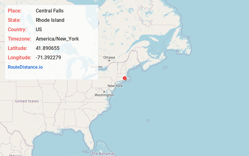
Static map view of Central Falls, Rhode Island
Browse Places by Distance
Places within specific distances from Central Falls
Short Distances
Long Distances
Click any distance to see all places within that range from Central Falls. Distances shown in miles (1 mile ≈ 1.61 kilometers).