Distance to Pawtucket, Rhode Island

Calculating Your Route
Just a moment while we process your request...
Location Information
-
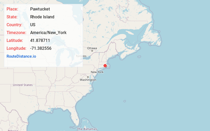
Full AddressPawtucket, RI
-
Coordinates41.878711, -71.3825558
-
LocationPawtucket , Rhode Island , US
-
TimezoneAmerica/New_York
-
Current Local Time11:35:48 PM America/New_YorkThursday, June 19, 2025
-
Website
-
Page Views0
About Pawtucket
Pawtucket is a city in Providence County, Rhode Island, United States. The population was 75,604 at the 2020 census, making the city the fourth-largest in the state. Pawtucket borders Providence and East Providence to the south, Central Falls and Lincoln to the north, and North Providence to the west.


Nearby Places
Found 10 places within 50 miles

Providence
4.1 mi
6.6 km
Providence, RI
Get directions

Cranston
7.4 mi
11.9 km
Cranston, RI
Get directions

Fall River
16.9 mi
27.2 km
Fall River, MA
Get directions

Brockton
23.5 mi
37.8 km
Brockton, MA
Get directions

Framingham
27.7 mi
44.6 km
Framingham, MA
Get directions

New Bedford
28.9 mi
46.5 km
New Bedford, MA
Get directions

Quincy
32.3 mi
52.0 km
Quincy, MA
Get directions

Newton
32.9 mi
52.9 km
Newton, MA
Get directions

Brookline
34.1 mi
54.9 km
Brookline, MA
Get directions

Worcester
34.2 mi
55.0 km
Worcester, MA
Get directions
Location Links
Local Weather
Weather Information
Coming soon!
Location Map
Static map view of Pawtucket, Rhode Island
Browse Places by Distance
Places within specific distances from Pawtucket
Short Distances
Long Distances
Click any distance to see all places within that range from Pawtucket. Distances shown in miles (1 mile ≈ 1.61 kilometers).