Distance to Centralia, Iowa

Calculating Your Route
Just a moment while we process your request...
Location Information
-
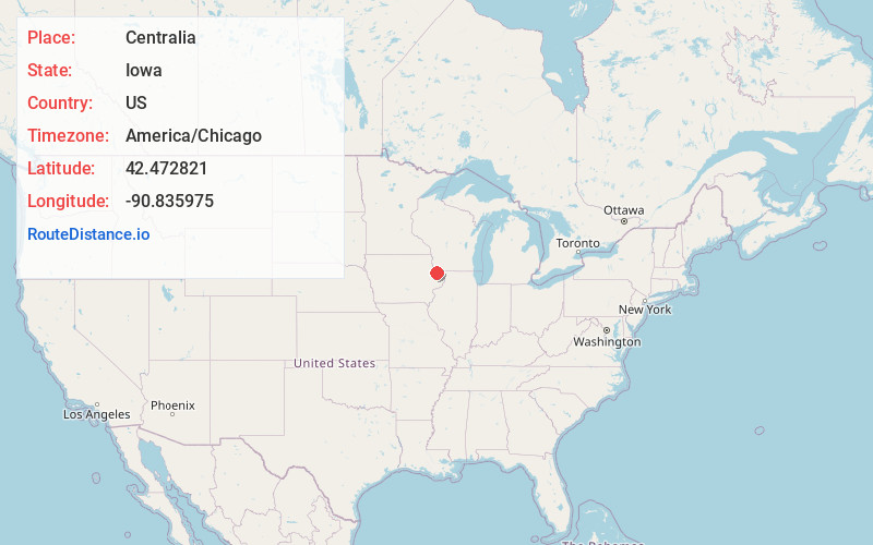
Full AddressCentralia, IA
-
Coordinates42.4728207, -90.8359747
-
LocationCentralia , Iowa , US
-
TimezoneAmerica/Chicago
-
Current Local Time5:45:37 PM America/ChicagoTuesday, May 20, 2025
-
Page Views0
About Centralia
Centralia is a city in Dubuque County, Iowa, United States. It is part of the Dubuque, Iowa Metropolitan Statistical Area. The population was 116 at the 2020 census, up 15 persons since the 2000 census and down 18 from the 2010.
Nearby Places
Found 10 places within 50 miles

Peosta
2.0 mi
3.2 km
Peosta, IA 52068
Get directions
Asbury
5.2 mi
8.4 km
Asbury, IA 52002
Get directions

Epworth
5.2 mi
8.4 km
Epworth, IA 52045
Get directions

Rickardsville
8.0 mi
12.9 km
Rickardsville, IA
Get directions

Dubuque
8.9 mi
14.3 km
Dubuque, IA
Get directions
Farley
8.9 mi
14.3 km
Farley, IA
Get directions
Sherrill
9.4 mi
15.1 km
Sherrill, IA 52073
Get directions

East Dubuque
9.9 mi
15.9 km
East Dubuque, IL 61025
Get directions
Holy Cross
12.0 mi
19.3 km
Holy Cross, IA 52053
Get directions
Kieler
14.0 mi
22.5 km
Kieler, WI
Get directions
Location Links
Local Weather
Weather Information
Coming soon!
Location Map
Static map view of Centralia, Iowa
Browse Places by Distance
Places within specific distances from Centralia
Short Distances
Long Distances
Click any distance to see all places within that range from Centralia. Distances shown in miles (1 mile ≈ 1.61 kilometers).