Distance to Centralia, Pennsylvania

Calculating Your Route
Just a moment while we process your request...
Location Information
-
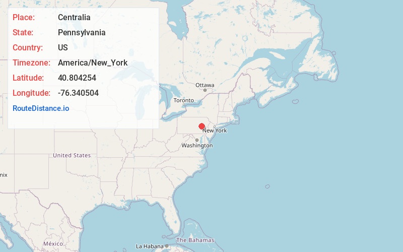
Full AddressCentralia, PA
-
Coordinates40.8042541, -76.3405035
-
LocationCentralia , Pennsylvania , US
-
TimezoneAmerica/New_York
-
Current Local Time10:21:00 PM America/New_YorkThursday, June 19, 2025
-
Website
-
Page Views0
About Centralia
Centralia is a borough and near-ghost town in Columbia County, Pennsylvania, United States. It is part of Northeastern Pennsylvania. Its population declined from 1,000 in 1980 to five residents in 2020 because a coal mine fire has been burning beneath the borough since 1962.


Nearby Places
Found 10 places within 50 miles

Aristes
1.0 mi
1.6 km
Aristes, PA 17920
Get directions

Ashland
1.6 mi
2.6 km
Ashland, PA 17921
Get directions

Wilburton Number Two
1.7 mi
2.7 km
Wilburton Number Two, PA 17888
Get directions
Fountain Springs
2.4 mi
3.9 km
Fountain Springs, PA 17921
Get directions

Locustdale
2.6 mi
4.2 km
Locustdale, PA
Get directions
Wilburton Number One
2.7 mi
4.3 km
Wilburton Number One, PA
Get directions

Girardville
3.1 mi
5.0 km
Girardville, PA 17935
Get directions

Little Mahanoy Creek
3.6 mi
5.8 km
Little Mahanoy Creek, Pennsylvania
Get directions
Gordon
3.6 mi
5.8 km
Gordon, PA
Get directions

Mt Carmel
3.8 mi
6.1 km
Mt Carmel, PA 17851
Get directions
Location Links
Local Weather
Weather Information
Coming soon!
Location Map
Static map view of Centralia, Pennsylvania
Browse Places by Distance
Places within specific distances from Centralia
Short Distances
Long Distances
Click any distance to see all places within that range from Centralia. Distances shown in miles (1 mile ≈ 1.61 kilometers).