Distance to Centropolis, Kansas

Calculating Your Route
Just a moment while we process your request...
Location Information
-
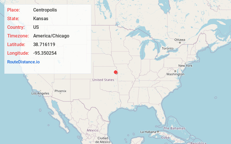
Full AddressCentropolis, KS 66067
-
Coordinates38.7161187, -95.3502536
-
LocationCentropolis , Kansas , US
-
TimezoneAmerica/Chicago
-
Current Local Time10:05:54 AM America/ChicagoTuesday, June 24, 2025
-
Page Views0
About Centropolis
Centropolis is a census-designated place in Franklin County, Kansas, United States. As of the 2020 census, the population was 100. It is located about 11 miles northwest of Ottawa. In the 1850s, Centropolis had the distinction of briefly vying for territorial capital of Kansas.
Nearby Places
Found 10 places within 50 miles

Ottawa
8.2 mi
13.2 km
Ottawa, KS 66067
Get directions

Pomona
9.2 mi
14.8 km
Pomona, KS 66076
Get directions

Baldwin City
9.7 mi
15.6 km
Baldwin City, KS 66006
Get directions

Overbrook
12.0 mi
19.3 km
Overbrook, KS 66524
Get directions

Quenemo
13.4 mi
21.6 km
Quenemo, KS 66528
Get directions

Wellsville
14.5 mi
23.3 km
Wellsville, KS 66092
Get directions
Vassar
15.2 mi
24.5 km
Vassar, KS
Get directions
Princeton
16.2 mi
26.1 km
Princeton, KS 66078
Get directions
Williamsburg
17.5 mi
28.2 km
Williamsburg, KS
Get directions
Rantoul
17.7 mi
28.5 km
Rantoul, KS 66079
Get directions
Location Links
Local Weather
Weather Information
Coming soon!
Location Map
Static map view of Centropolis, Kansas
Browse Places by Distance
Places within specific distances from Centropolis
Short Distances
Long Distances
Click any distance to see all places within that range from Centropolis. Distances shown in miles (1 mile ≈ 1.61 kilometers).